Sovereign state United Kingdom Postcode district TN15 Local time Saturday 6:19 PM | ||
 | ||
Weather 8°C, Wind NE at 26 km/h, 41% Humidity | ||
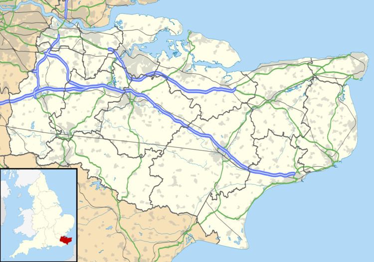
Seal Chart is a village 2 miles (3 km) east of Sevenoaks in Kent, England. It is within the Sevenoaks local government district. At the 2011 Census the population was included in the civil parish of Seal
Map of Seal Chart, Sevenoaks, UK
References
Seal Chart Wikipedia(Text) CC BY-SA
