
 | ||
Similar Priory Bay, Shanklin Beach, Culver Down, Alum Bay, West Wittering Beach | ||
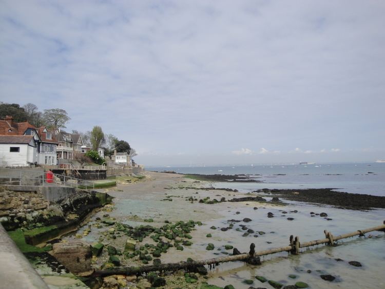
Seagrove Bay is a bay on the north east coast of the Isle of Wight, England. It lies to the east of the village of Seaview. It faces east towards Selsey Bill and its shoreline is 1 km in length. It stretches from Nettlestone Point in the north to Horestone Point in the south.
Map of Seagrove Bay, United Kingdom
Roughly at the centre is a public slipway. To the south of the slipway is a curved concrete seawall protecting the shoreline, properties and boat houses. In addition there are four 30m groynes made of rock piles running out perpendicularly from the seawall into the bay. Each one has a post with a red can marking its seaward end. The beach between the groynes is predominantly sand but is completely covered at high water. At the southernmost end of the bay is a wooden walkway which give access from the end of the seawall to Horestone Point and Priory Bay beyond even during the high tide. To the north of the slipway is a straight pebble beach. Further coastal protection measures are planned for this section if they can be justified environmentally and financially.
The sea bottom is sandy and gently shallowing. There are many shallow private mooring buoys out in the bay.