
Demonym(s) Scrofianesi Elevation 374 m Local time Saturday 1:34 PM | Time zone CET (UTC+1) Population 247 (2001) Postal code 53048 | |
 | ||
Weather 22°C, Wind S at 14 km/h, 35% Humidity | ||
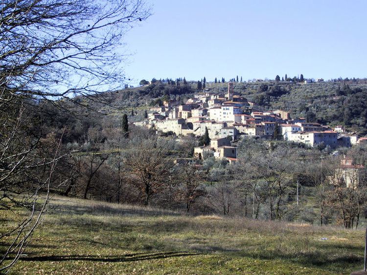
Scrofiano is a village in Tuscany, central Italy, a frazione of the comune of Sinalunga in the province of Siena. It is located on a hill in Val di Chiana, a few kilometers from Sinalunga proper.
Contents
Map of 53048 Scrofiano, Province of Siena, Italy
Scrofiano was founded in around the 11th century. It is known however with certainty from the 12th century, when it was a fief of the Cacciaconti family, as part of the Republic of Siena. In the early 15th century it was the seat of a decisive battle between the Ghibelline Sienese and the Guelph Florentines.
In 1554 its castle was besieged by the Imperial-Florentine troops, which destroyed its walls.
Main sights
References
Scrofiano Wikipedia(Text) CC BY-SA