
Topo map USGS Scott Mountain | Elevation 1,947 m Country United States of America | |
 | ||
Biome Temperate coniferous forest | ||
The Scott Mountains are a mountain range in Siskiyou County, in northwestern California. A high point is Scott Mountain Summit, a mountain gap-pass at 5,554 feet (1,693 m) in elevation.
Contents
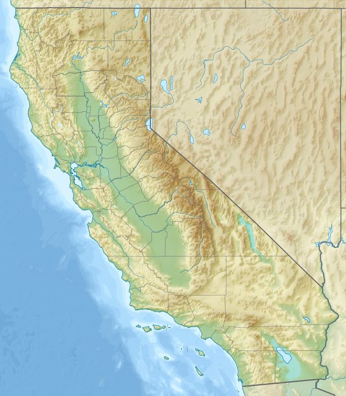
Map of Scott Mountains, California, USA
GeographyEdit
The Scott Mountains are a sub-range within the Klamath Mountains System. The Klamath system are of the Pacific Coast Ranges series of mountain range systems that stretch along the West Coast of North America.
The Scott Mountains run from southern Siskiyou County southeast into northern Trinity County.
California State Route 3 passes through the range. The Scott Mountains are located approximately 30 miles (48 km) west of the towns of Mt. Shasta and Dunsmuir that are on Interstate 5.
RecreationEdit
The range is within sections of the Klamath National Forest and Shasta-Trinity National Forest.
Scott Mountain Campground, is at the Scott Mountain summit in the Shasta-Trinity National Forest section. It is located on the summit's west side at the junction of the Pacific Crest Trail and California State Route 3.
EcologyEdit
The Scott Mountains are within the Klamath-Siskiyou forests — Klamath Mountains ecoregion, which is part of the Temperate coniferous forests Biome.
The wildflower Scott Mountain phacelia (Phacelia dalesiana) is endemic to a small area of Scott Mountain.
Plant communities in the range include: