
- elevation 585 m (1,919 ft) - elevation 395 m (1,296 ft) | - length 62 km (39 mi) | |
 | ||
- location north of Bad Schussenried, Baden-Württemberg, Germany | ||
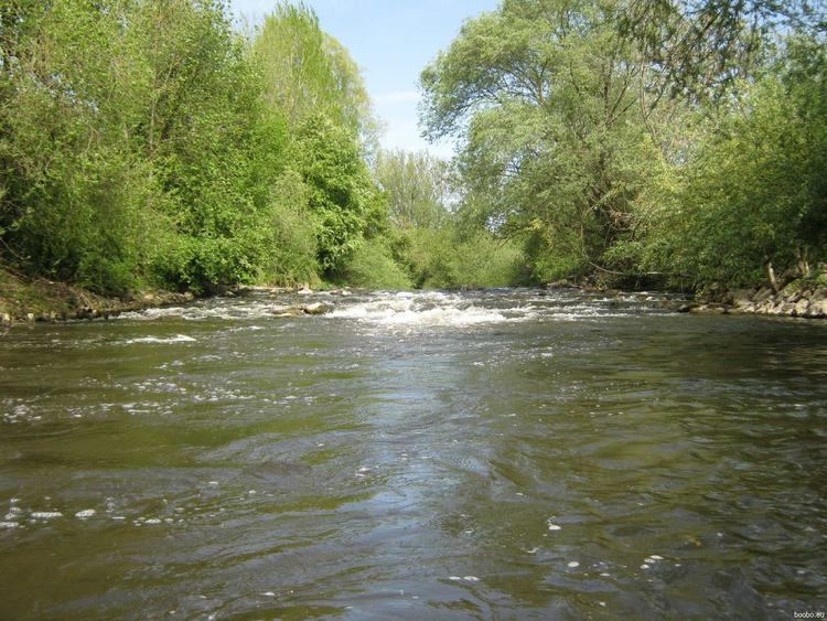
Kanu tour auf der schussen
The Schussen is a 62 kilometres (39 mi) long tributary of the Bodensee (Lake Constance) and, via the lake, enters the Rhine River in the southern portion of Upper Swabia in Baden-Württemberg (Germany).
Contents
- Kanu tour auf der schussen
- Map of Schussen Bad Schussenried Germany
- Kehlen schussen 7
- CourseEdit
- TributariesEdit
- OdditiesEdit
- References
Map of Schussen, Bad Schussenried, Germany
Kehlen schussen 7
CourseEdit
From its source, not far from the Lake Feder, around 1.5 kilometers north of Bad Schussenried, where it runs down the watershed between the Rhine and the Danube, to the Bodensee.
The river passes south of Aulendorf through its own valley in the northern part of the Altdorf Forests, through the Schussen ravine by Durlesbach and by Mochewangen (Wolpertswende), and from there into the broad Schussen Valley. The valley was not created by the river itself, but rather during one of the Ice Ages. From there it runs past the small city of Weingarten, and, further, by Ravensburg and through the district of Meckenbeuren, before it enters the Bodensee water in the region of Eriskirch, at the Eriskircher wetlands.
TributariesEdit
Several streams enter the Schussen, including the Wolfegger Ach, which originates between Binningen and Niederbiegen (both are part of the community of Baienfurt). Other tributaries include the Scherzach, Scharzach, and the Ravensburg city creek.
OdditiesEdit
In the course of its passage through the County of Biberach, the Schussen is the only stream that flows south to the Bodensee; all others flow north to the Danube.