
Country United States Area code(s) 701 Elevation 591 m Local time Friday 9:07 AM | Time zone Central (CST) (UTC-6) FIPS code 38-71220 Area 89.04 km² Population 26 (2000) | |
 | ||
Weather -3°C, Wind NE at 11 km/h, 91% Humidity | ||
Schrunk Township is a civil township in Burleigh County in the U.S. state of North Dakota. As of the 2000 census, its population was 26, but had increased to an estimated 71 by 2009.
Contents
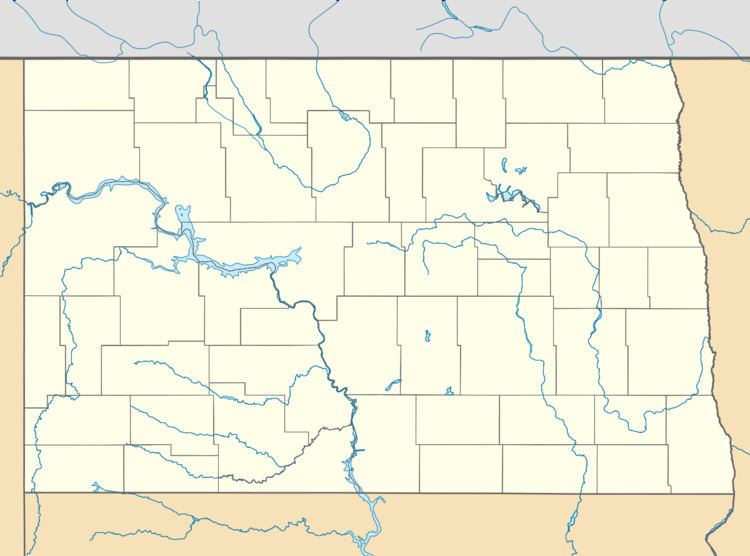
Map of Schrunk, ND, USA
History
Schrunk Township was first listed as a school township during the 1910 Census, with a population of 120. It was named after brothers Charlie and George Schrunk, early settlers from Iowa who moved to the area in 1893. The first school was built in 1903. A second schoolhouse was constructed in 1908, and operated until 1957 when the school district was consolidated with nearby Wing.
It was later organized as a civil township under the name Summit, and reported a 1920 population of 131. By the time of the 1908 Census, the township had been renamed Schrunk.
References
Schrunk Township, Burleigh County, North Dakota Wikipedia(Text) CC BY-SA