
Country United States FIPS code 38-86780 Elevation 580 m Zip code 58494 Local time Tuesday 5:27 AM | Time zone Central (CST) (UTC-6) GNIS feature ID 1032845 Area 153 ha Population 159 (2013) Area code 701 | |
 | ||
Weather 2°C, Wind NW at 5 km/h, 92% Humidity | ||
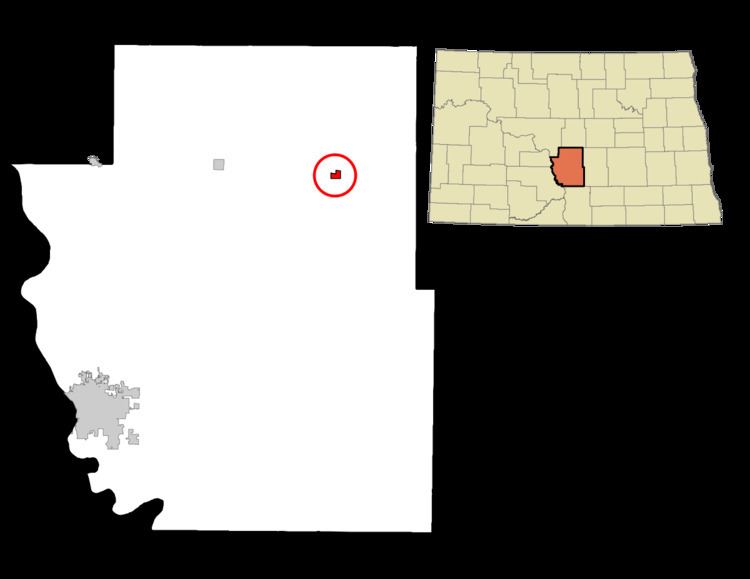
Wing is a city in Burleigh County, North Dakota, United States. It is part of the "Bismarck, ND Metropolitan Statistical Area" or "Bismarck-Mandan". The population was 152 at the 2010 census.
Contents
Map of Wing, ND 58494, USA
History
Wing was founded in 1911. It was named for Charles K. Wing, who platted the area.
Geography
Wing is located at 47°8′27″N 100°16′50″W (47.140938, -100.280626).
According to the United States Census Bureau, the city has a total area of 0.59 square miles (1.53 km2), all of it land.
2010 census
As of the census of 2010, there were 152 people, 66 households, and 41 families residing in the city. The population density was 257.6 inhabitants per square mile (99.5/km2). There were 90 housing units at an average density of 152.5 per square mile (58.9/km2). The racial makeup of the city was 94.1% White, 2.6% Native American, and 3.3% from two or more races. Hispanic or Latino of any race were 0.7% of the population.
There were 66 households of which 24.2% had children under the age of 18 living with them, 50.0% were married couples living together, 7.6% had a female householder with no husband present, 4.5% had a male householder with no wife present, and 37.9% were non-families. 31.8% of all households were made up of individuals and 12.1% had someone living alone who was 65 years of age or older. The average household size was 2.30 and the average family size was 2.98.
The median age in the city was 45.5 years. 26.3% of residents were under the age of 18; 3.3% were between the ages of 18 and 24; 19.8% were from 25 to 44; 31.6% were from 45 to 64; and 19.1% were 65 years of age or older. The gender makeup of the city was 52.0% male and 48.0% female.
2000 census
As of the census of 2000, there were 124 people, 68 households, and 32 families residing in the city. The population density was 210.3 people per square mile (81.1/km²). There were 89 housing units at an average density of 150.9 per square mile (58.2/km²). The racial makeup of the city was 99.19% White, and 0.81% from two or more races. 51.3% were of German, 16.8% Norwegian, 7.6% Scandinavian and 5.0% Finnish ancestry.
There were 68 households out of which 14.7% had children under the age of 18 living with them, 44.1% were married couples living together, 2.9% had a female householder with no husband present, and 51.5% were non-families. 48.5% of all households were made up of individuals and 30.9% had someone living alone who was 65 years of age or older. The average household size was 1.82 and the average family size was 2.64.
In the city, the population was spread out with 13.7% under the age of 18, 4.0% from 18 to 24, 16.9% from 25 to 44, 32.3% from 45 to 64, and 33.1% who were 65 years of age or older. The median age was 53 years. For every 100 females there were 90.8 males. For every 100 females age 18 and over, there were 87.7 males.
The median income for a household in the city was $14,688, and the median income for a family was $44,167. Males had a median income of $26,750 versus $23,438 for females. The per capita income for the city was $14,970. There were 10.5% of families and 19.7% of the population living below the poverty line, including 20.0% of under eighteens and 35.7% of those over 64.
Points of interests
Southeast of Wing, at 47°2'48"N 100°5'49"W, there is the only point in the Western hemisphere, where two HVDC overhead powerlines, CU and Square Butte cross each other.