
Vehicle registration IL Area 62.7 km² Local time Friday 10:22 AM Area code 05279 | Time zone CET (UTC+1) Elevation 1,407 m Population 891 (1 Apr 2009) Postal code 6154 | |
 | ||
Website www.schmirn.tirol.gv.at Weather 7°C, Wind S at 18 km/h, 67% Humidity | ||
Schmirn is a municipality in the District Innsbruck-Land in the Austrian state of Tyrol.
Contents
Map of 6154 Schmirn, Austria
Geography
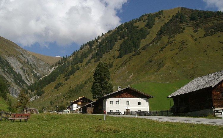
Schmirn is located 25 km (16 mi) southeast of Innsbruck, situated in the homonymous valley that branches off from Wipptal, at the village of Sankt Jodok until to the Tux Alps. The northern part of Sankt Jodok is part of Schmirn, while the remaining part is under the jurisdiction of the southern village of Vals.
Neighbour municipalities
Finkenberg, Navis, Steinach am Brenner, Tux, Vals, Wattenberg.
History
The Romans invaded the valley through Tux Jöchl pass, then used it as grazing land. Schmirn was mentioned for the first time in 1249 as "Vallis Smurne" and became independent in 1811; until to 1926 also Hintertux, located in the Zillertal (Ziller Valley), was part of the municipality. A church, dedicated to Saint Joseph, was built in 1756-1757 in Baroque style on project of Franz de Paula Penz and Seelsorger; in 1778 was raised to parish and was restored in 1958-1959. In 1831 Franz Fuchs III founded the village band that it is still active.