
Admin. region Oberpfalz Elevation 387 m (1,270 ft) Area 41.23 km² Local time Friday 10:07 AM | District Schwandorf Time zone CET/CEST (UTC+1/+2) Population 2,900 (31 Dec 2008) Postal code 92546 | |
 | ||
Weather 8°C, Wind NE at 14 km/h, 77% Humidity | ||
Schmidgaden is a municipality in the district of Schwandorf in Bavaria, Germany.
Contents
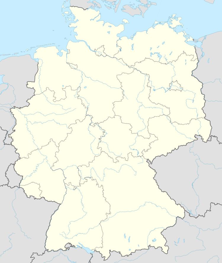
Map of Schmidgaden, Germany
Geography
Schmidgaden lies in the north of the Upper Palatinate. The municipality includes the following areas: Schmidgaden, Trisching, Wolfsbach, Rottendorf, Gösselsdorf, Littenhof
History
The first documentary reference goes back to the year 1123. Schmidgaden belonged to the bursary Amberg as well as to the district court of the Bavarian electorate. Due to the administrative reform in the Bavarian Kingdom, with the municipality edict the political municipality Schmidgaden arose. In 1972 the municipalities of Rottendorf, Trisching as well as parts of Gösselsdorf were incorporated.
Religions
While the majority of Schmidgaden is Catholic, Lutheran and a few other minorities can be found.
References
Schmidgaden Wikipedia(Text) CC BY-SA