
Frazioni Spondinig (Spondigna) Time zone CET (UTC+1) Postal code 39020 | Elevation 921 m (3,022 ft) Area 20.8 km² Local time Friday 9:44 AM Dialling code 0473 | |
 | ||
Weather 10°C, Wind NE at 3 km/h, 74% Humidity Region Trentino-Alto Adige/South Tyrol | ||
Wellness hotel engel schluderns s dtirol
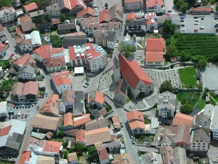
Schluderns ( [ʃluˈdɛrns]; Italian: Sluderno [zluˈdɛrno]) is a comune (municipality) in South Tyrol in northern Italy, located about 60 kilometres (37 mi) northwest of Bolzano.
Contents
- Wellness hotel engel schluderns s dtirol
- Map of 39020 Sluderno Province of Bolzano South Tyrol Italy
- Vinschgau schluderns waalwege italy
- Geography
- Coat of arms
- Linguistic distribution
- References
Map of 39020 Sluderno Province of Bolzano - South Tyrol, Italy
Vinschgau schluderns waalwege italy
Geography
As of 30 November 2010, it had a population of 1,831 and an area of 20.8 square kilometres (8.0 sq mi).
Above the Schluderns is the famous Churburg from 1250.
The municipality of Schluderns contains the frazione (subdivision) Spondinig (Spondigna).
Schluderns borders the following municipalities: Glurns, Laas, Mals, and Prad am Stilfser Joch.
Coat-of-arms
The shield is party per pale of argent and gules; the first part represents half sable wheel with azure torture blades, the second an or sheaf. The torture wheel is the insignia of St. Catherine patron saint of the village, the sheaf represent the cereal production in the municipality. The emblem was granted in 1967.
Linguistic distribution
According to the 2011 census, 98.80% of the population speak German and 1.20% Italian as first language.