
Country Population 14,234 (Dec 31, 2008) Area 6.6 km2 | Elevation 394 m | |
 | ||
Mayor StadtprasidentToni Bruhlmann(as of March 2014) | ||
Map of Schlieren, Switzerland
Schlieren (Zürich German Schlierä) is a municipality in the district of Dietikon in the canton of Zürich in Switzerland.
Contents
- Map of Schlieren Switzerland
- Solar 30000mm sun imaging telescope schlieren photography dans
- History
- Geography
- Demographics
- Government and infrastructure
- Transportation
- Objects of interest
- Politics
- Education
- References
Solar 30000mm sun imaging telescope schlieren photography dans
History
The oldest artifact discovered in the Canton of Zürich is a Stone Age Neanderthal hand axe which was found in Schlieren, and dates back to approximately 100,000 BCE.
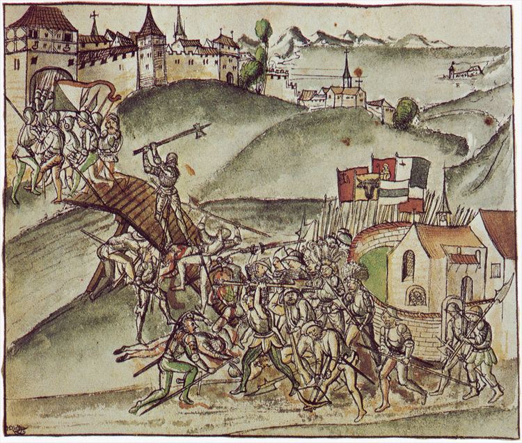
Until 1415, Schlieren belonged to Habsburg. After the conquest of Aargau by the Swiss Confederates it was a component of the county of Baden. In 1803 Schlieren was assigned to the Canton of Zürich. In 1777 the minister Heinrich Keller created here the first "deaf-mute school" in Switzerland. Thanks to the proximity to the city of Zürich and the good traffic facilities (Tram, S-Bahn), Schlieren showed a population growth of 10,000 since the 1930s.
Schlieren was considered for inclusion of the expansion of Zurich's city limits, but was ultimately not part of the expansion of 1934.
Geography
Schlieren has an area of 6.6 km2 (2.5 sq mi). Of this area, 19.5% is used for agricultural purposes, while 28.1% is forested. Of the rest of the land, 50.7% is settled (buildings or roads) and the remainder (1.7%) is non-productive (rivers, glaciers or mountains). In 1996 housing and buildings made up 36.6% of the total area, while transportation infrastructure made up the rest (14.1%). Of the total unproductive area, water (streams and lakes) made up 1.8% of the area. As of 2007 43.5% of the total municipal area was undergoing some type of construction.
Schlieren lies to the south of the river Limmat in the Limmat Valley (German: Limmattal), and west of Zurich. It is part of the Zurich metropolitan area.
Demographics
Schlieren has a population (as of 2007) of 13,860, of which 42.5% are foreign nationals. As of 2008 the gender distribution of the population was 50.6% male and 49.4% female. Over the last 10 years the population has grown at a rate of 10.2%. Most of the population (as of 2000) speaks German (71.3%), with Italian being second most common ( 8.5%) and Serbian being third ( 4.4%).
In the 2007 election the most popular party was the SVP which received 40.8% of the vote. The next three most popular parties were the SPS (21.1%), the FDP (10.1%) and the CVP (9.3%).
The age distribution of the population (as of 2000) is children and teenagers (0–19 years old) make up 20.1% of the population, while adults (20–64 years old) make up 64.2% and seniors (over 64 years old) make up 15.7%. In Schlieren about 58.8% of the population (between age 25-64) have completed either non-mandatory upper secondary education or additional higher education (either university or a Fachhochschule). There are 6262 households in Schlieren.
Schlieren has an unemployment rate of 4.23%. As of 2005, there were 62 people employed in the primary economic sector and about 11 businesses involved in this sector. 2796 people are employed in the secondary sector and there are 189 businesses in this sector. 8688 people are employed in the tertiary sector, with 659 businesses in this sector. As of 2007 39.1% of the working population were employed full-time, and 60.9% were employed part-time.
As of 2008 there were 5481 Catholics and 2920 Protestants in Schlieren. In the 2000 census, religion was broken down into several smaller categories. From the 2000 census, 29.5% were some type of Protestant, with 27.1% belonging to the Swiss Reformed Church and 2.4% belonging to other Protestant churches. 39.5% of the population were Catholic. Of the rest of the population, 10.2% were Muslim, 15.2% belonged to another religion (not listed), 4.7% did not give a religion, and 9.2% were atheist or agnostic.
Government and infrastructure
Schlieren is home to the Eastern Switzerland Office of the Investigation Bureau for Railway, Funicular and Boat Accidents.
Transportation
The municipality is served by two railway stations, on different lines of the Zurich S-Bahn. Schlieren railway station is in the geographic centre of the municipality and a stop on lines S3 and S12. Although Urdorf railway station takes its name from the adjoining municipality of Urdorf, it is actually located just within the boundaries of Schlieren, and is a stop on lines S9 and S15.
Objects of interest
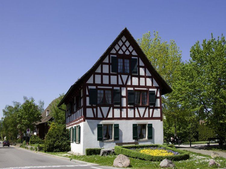
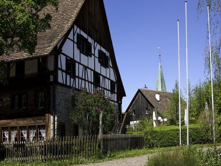
Former gas facility. Local museum and several city parks. Biggest covered climbing hall in Europe.
Politics
The town president is Peter Voser of the Free Democratic Party of Switzerland.
Education
Schools in Schlieren include Schule Hofacker, Schule Grabenstrasse, Schule Schulstrasse, Schule Zelgli, and Schule Kalktarren.