
Time zone EET (UTC+2) Local time Friday 7:09 AM | Elevation 95 m (312 ft) Vehicle registration ΒΙ | |
 | ||
Weather 9°C, Wind W at 10 km/h, 64% Humidity | ||
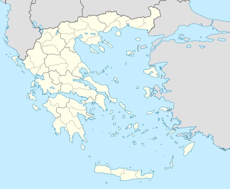
Schimatari (Greek: Σχηματάρι) is a town and a former municipality in Boeotia, Greece. Since the 2011 local government reform it is part of the municipality Tanagra, of which it is the seat and a municipal unit. The municipal unit has an area of 38.285 km2. Population 7,173 (2011). It is situated in the wide valley of the river Asopos, at 6 km from the South Euboean Gulf coast. The Motorway 1 (Athens - Lamia - Thessaloniki) passes north of Schimatari. Schimatari is located 13 km south of Chalcis, 23 km east of Thebes and 43 km north-northwest of Athens. The Tanagra Airport lies to the south.
Contents
Map of Schimatari 320 09, Greece
An agricultural settlement until the 1980s, its proximity to Athens has led to a significant growth in industrial activities and population.
Subdivisions
The municipal unit Schimatari consists of one single community Schimatari, which contains the villages Oinoi, Plaka Dilesi and Schimatari.