
Basin countries France Max. depth 45 m (148 ft) Area 6 ha | Primary outflows Wormsabachrunz Surface area 5.6 ha (14 acres) Surface elevation 926 m Catchment area 124 ha | |
 | ||
Similar Fischboedle, Hohneck, Kastelberg, Réserve naturelle, Lac Vert | ||
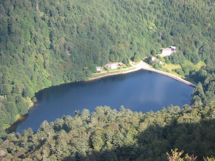
Schiessrothried is a small lake in the Alsatian side of the Vosges, of glacial origin. Its waters join the Fecht by a small left tributary, the Wormsabachrunz . At the foot of the Hohneck, it was originally a bog overdeepened and really became a lake by building a small dam very discreet, making many believe that it is of natural origin.
Map of Schiessrothried, 68380 Metzeral, France
The purpose of the dam was to regulate the flow of water to the textile mills and sawmills in the Munster valley, most of which were supplied with electricity independently.
The lake is surrounded by many hiking trails marked out by the Club Vosgien .
At an elevation of 926 m, its surface area is 0.056 km².
References
Schiessrothried Wikipedia(Text) CC BY-SA