
Admin. region Gießen Elevation 285 m (935 ft) Area 34.11 km² Population 6,245 (30 Jun 2009) Dialling code 06445 | Time zone CET/CEST (UTC+1/+2) Local time Friday 6:20 PM Postal code 35641 Administrative region Giessen | |
 | ||
Weather 11°C, Wind NE at 19 km/h, 60% Humidity | ||
Schöffengrund is a community in the Lahn-Dill-Kreis in Hesse, Germany.
Contents
- Map of 35641 SchC3B6ffengrund Germany
- Location
- Neighbouring communities
- Constituent communities
- History
- Municipal council
- Partnerships
- References
Map of 35641 Sch%C3%B6ffengrund, Germany
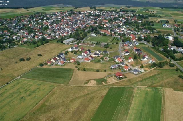
Location
Schöffengrund lies only a few kilometres south of Wetzlar in the Hochtaunus Nature Park.
Neighbouring communities
Schöffengrund borders in the north on the towns of Solms and Wetzlar, in the east on the community of Hüttenberg (all three in the Lahn-Dill-Kreis), in the southeast on the community of Langgöns (Gießen district), in the south on the community of Waldsolms, and in the west on the town of Braunfels (both in the Lahn-Dill-Kreis).
Constituent communities
The community consists of the centres of Laufdorf, Niederquembach, Niederwetz, Oberquembach, Oberwetz and Schwalbach.
History
As part of Hesse's municipal reforms, the communities of Schwalbach, Laufdorf, Niederquembach, Niederwetz, Oberquembach and Oberwetz merged on 1 January 1972 and chose the historic name Schöffengrund, which does back to the old court region, the so-called "Quembacher Gericht", which was held at the "stone" near Oberquembach. This was where the Schöffen ("jurymen") from distinguished families in the villages that belonged to the court met for the court's sittings. Grund is, of course, German for "ground".
Municipal council
The municipal elections in 2011 yielded the following results:
Note: FWG and UWG are citizens' coalitions.
Partnerships
The community of Schöffengrund maintains partnerships with the following places: