Floor elevation 6,300 feet (1,920 m) Long-axis length 30 miles (50 km) Width 16,093 m | Long-axis direction N-S | |
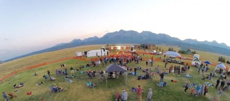
2016 sawtooth valley gathering official recap video
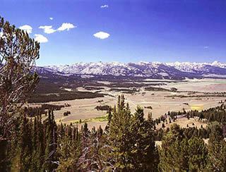
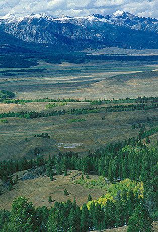
The Sawtooth Valley is a valley in the Western United States, in Blaine and Custer counties of central Idaho. About 30 miles (50 km) long, it is located in Sawtooth National Recreation Area (SNRA) in the Sawtooth National Forest. It is surrounded by the Sawtooth Mountains to the west, White Cloud Mountains to the east, Salmon River Mountains to the north, and Boulder and Smoky Mountains to the south. The valley contains the headwaters of the Salmon River, the city of Stanley, and community of Sawtooth City.
Contents
- 2016 sawtooth valley gathering official recap video
- 2015 sawtooth valley gathering official recap video
- References
The entire length of the valley is traversed by Idaho State Highway 75, which is also known as the Sawtooth Scenic Byway. State Highway 75 enters the valley from the south at Galena Summit and exits to the north near Stanley. Highway 75 was formerly U.S. 93, which is now routed through Arco.
Sawtooth Valley contains several large lakes in the SNRA, including Redfish, Alturas, Pettit, and Stanley lakes. Valley floor elevations range from just under 6,300 feet (1,920 m) near Stanley to over 7,500 feet (2,290 m) below Galena Summit. Elevations along the valley's borders reach 11,815 feet (3,601 m) at Castle Peak in the White Cloud Mountains to the east and 10,715 feet (3,266 m) at Thompson Peak in the Sawtooth Mountains to the west.
2015 sawtooth valley gathering official recap video