
Time zone EAT (UTC+3) Local time Thursday 6:14 PM | Zone Gamo Gofa Elevation 1,395 m Area code 777 | |
 | ||
Region Southern Nations, Nationalities and Peoples' Weather 18°C, Wind S at 6 km/h, 81% Humidity | ||
Sawla (also known as Felege Neway) is a Town in southern Ethiopia. Located in Gamo Gofa Zone of the Southern Nations, Nationalities and Peoples' Region, this town has a latitude and longitude of 6°18′N 36°53′E with an altitude of 1395 meters above sea level. It is surrounded by Demba Gofa woreda.
Contents
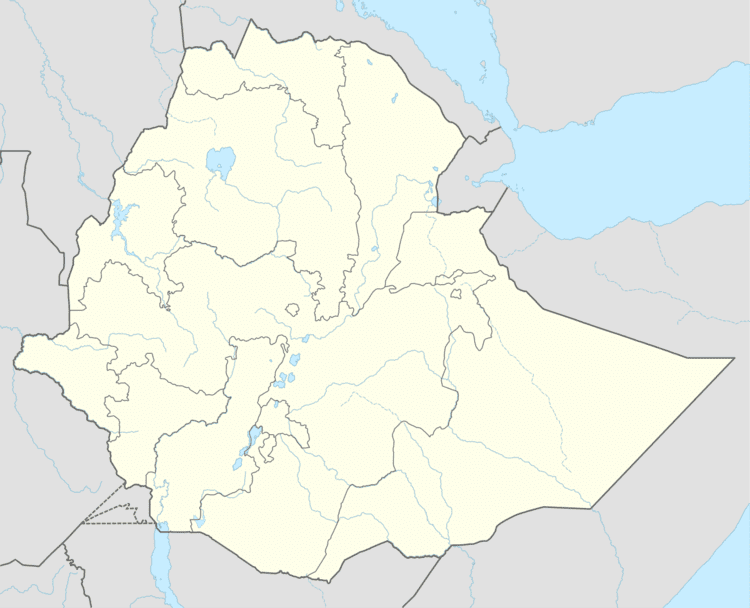
Map of Sawla, Ethiopia
History
The Foundation of Sawla(Felege Neway) The town was founded in 1959 during the reign of Emperor Hayile Silassie. The main factors for its foundation were its conducive climate and environment, fertile soil, suitability for expansion of infrastructure, the presence of airport at that time, availability of water and different spices including coffee and its importance as business center. In 1963 the Gofa Awuraja has been transferred to Sawla from Bulki and this has played a role for the relative fast infrastructure and structural development of the town. The ancient name of Sawla is Felege Newaye. Sawla town has got its present name from “Sa7a’’ ‘’wula” a Gofa word and which means “the gate of land”. This name was given because Sawla was serving as the center of business for the surrounding districts. In 2002/2003 the Southern Nations Nationality Peoples Regional State Works and Urban Development Bureau study has classified it as one of the city administration in the region Sawla is one of the reform towns in the region and has a municipal status consisting of urban kebelle. and the town got the first plan in 1965. The town has got the current plan in 2002. Records at the Nordic Africa Institute website provide details of the primary and secondary school in Sawla in 1968. A study to build a road to connect Sawla with Ameya in Ela woreda was conducted in 1996.
On 1 July 2008, the Ethiopian House of Peoples' Representatives voted to ratify a US$9 million loan agreement signed with the Arab Bank for Economic Development in Africa for the implementation of a rural electrification project linking Sawla and Key Afer in Hamer Bena woreda. The total cost of this project would total US$43.89 million, of which the OPEC Fund for International Development has promised US$20 million, while the Ethiopian government will provide US$14 million.
Demographics
Based on the 2007 Census conducted by the CSA, this town has a total population of 22,704, of whom 11,546 are men and 11,158 women. The majority of the inhabitants were Protestants, with 49.12% of the population reporting that belief, 45.22% practiced Ethiopian Orthodox Christianity, and 4.63% were Muslim.
The 1994 national census reported this town had a total population of 15,764 of whom 7,861 were men and 7,903 were women.
Climate
Owing to its location near the equator, Sawla features a Tropical savanna climate (Köppen Aw). However, it is atypical for its classification, owing to its latitude and altitude. Despite the Aw classification, which indicates a dry winter and a wet summer, Sawla has two dry seasons, one occurring in winter, and another, less pronounced dry season in the summer. Similarly, there are two rainy seasons, the strongest being in the spring and a weaker one in autumn. This occurs due to the Intertropical Convergence Zone passing over the equatorial regions in the spring and fall, which is typical of the region. Although still meeting Köppen's 18 °C (64 °F) tropical threshold, temperatures are significantly cooler due to Sawla's altitude, thus giving the location characteristics closer to a highland climate.
Education
Educational Institutions •The first Romanwork primary school was established in 1961 E.C which later renamed to Felegneway junior and secondary school present day called Botre School which is promoted and renamed to Sawla Senior Secondary school in 1976 E.C currently called Sawla Secondary and Preparatory School. •Sawla technical school was established in 1996 E.C, presently called Sawla Construction and Industrial College. •Know the town has Nine(9) governmental and fourteen(14) private educational institutions. From those governmental institutions one is higher educational institution which is AMU Sawla campus and the other one is Sawla Construction and Industrial College which is in TVET level. The other institutions are Primary, Elementary and Secondary Schools. There are ten Full Primary & Elementary Schools, five Secondary Schools and One Preparatory School. From those Private educational institutions there are 6 colleges and three Full Primary & Elementary Schools and two Secondary Schools.
Transport
Sawla:is located at a distance of 514 km from Addis Ababa, 258 km from Hawassa and 250 km from Arbaminch. It is located at the south West of Hawassa and North west of Arbaminch. The road from Addis Ababa to Sodo is asphalt paved. However, from sodo to Sawla has not been asphalted yet. This does not mean that there is difficulty transport. There is very good road and so many vehicles are coming and going. The town is serving as exclusive transport option for about 7 woredas, such as: Meloko-koza, Basketo, Geze Gofa, Oyda, Demba Gofa, Zala and Uba Debtetsehay woredas.