
Country Thailand Time zone THA (UTC+7) Geocode 3432 Population 30,170 (2005) | Seat Sawang Postal code 34190 Area 218 km² Province Ubon Ratchathani Province | |
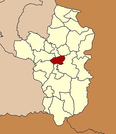 | ||
Sawang Wirawong (Thai: สว่างวีรวงศ์) is a district (Amphoe) in the central part of Ubon Ratchathani Province, northeastern Thailand.
Contents
- Map of Sawang Wirawong District Ubon Ratchathani 34190 Thailand
- History
- Geography
- Administration
- References
Map of Sawang Wirawong District, Ubon Ratchathani 34190, Thailand
History
Sawang Wirawong was separated from Warin Chamrap district to create a minor district (King Amphoe) on April 1, 1995.
Following a decision of the Thai government on May 15, 2007, all of the 81 minor districts were to be upgraded to full districts. With the publishing in the Royal Gazette on August 24, the upgrade became official.
Geography
Neighboring districts are (from the north clockwise) Don Mot Daeng, Tan Sum, Phibun Mangsahan, Na Yia, Warin Chamrap and Mueang Ubon Ratchathani.
Administration
The district is subdivided into 4 subdistricts (tambon), which are further subdivided into 53 villages (muban). There are no municipal (thesaban) areas, and 4 Tambon administrative organizations (TAO).