
Vehicle registration UP-74 Population 25,155 (2011) | Time zone IST (UTC+5:30) Elevation 151 m Local time Thursday 3:21 PM | |
 | ||
Weather 36°C, Wind NW at 8 km/h, 26% Humidity | ||
Arun shakya saurikh
Saurikh is a nagar panchayat in Kannauj district in the Indian state of Uttar Pradesh. Its old name was Sau-Rishi.
Contents
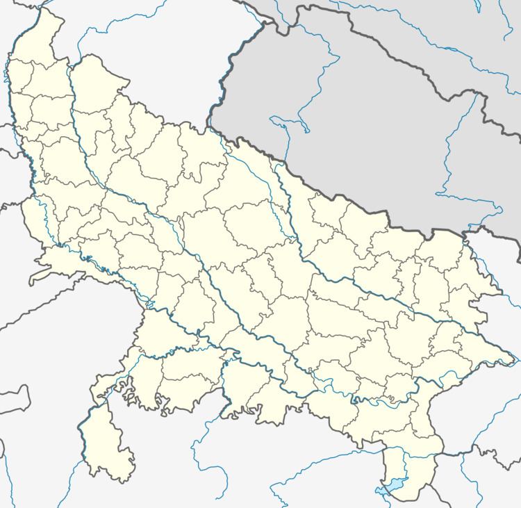
Map of Saurikh, Uttar Pradesh 209728
Demographics
About Saurikh is a nagar panchayat in Kannauj District of Uttar Pradesh State, India. Saurikh Tehsil Headquarters is Saurikh Rural town . It belongs to Kanpur Division . It is located 51 KM towards west from District head quarters Kannauj. 171 KM from State capital Lucknow towards East. Saurikh Block is bounded by Chhibramau Tehsil towards North, Haseran Block towards South, Talgram Block towards East, Erwa Katra Block (District Auraiya) towards South. Sikanderpur City, Achhalda City, Bharthana City , Fatehgarh City are the nearby cities to Saurikh. It is in the 7 m elevation(altitude). This place is in the border of the Kannauj District and Auraiya District. Auraiya District Erwa Katra is South towards this place. Also it is in the Border of other district Mainpuri. Kannauj (Kanauj), Bithur, Kanpur (Cawnpore), Naimisharanya, Lucknow (Awadh) are the near by Important tourist destinations to see.
As of 2001 India census, Saurikh had 5 sq/km area housing a population of 25155. Males constitute 53% of the population and females 47%. Saurikh has an average literacy rate of 57%, lower than the national average of 59.5%: male literacy is 63%, and female literacy is 51%.
In Saurikh, 18% of the population is under 6 years of age. The population is 50% Kshatriya, Pal and Yadavs, with shakya, Baniya and Muslims also present.