
Canton Saulzais-le-Potier Area 32.38 km² | Time zone CET (UTC+1) Population 492 (1999) | |
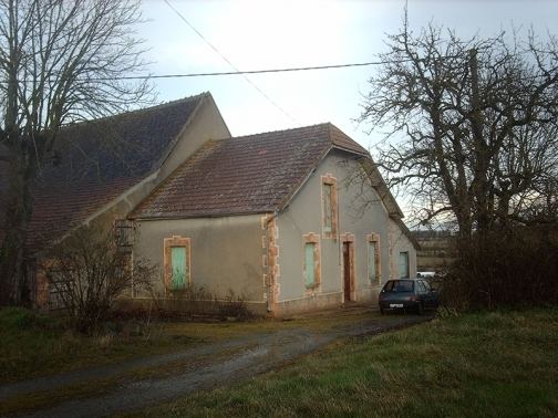 | ||
Saulzais-le-Potier is a commune in the Cher department in the Centre region of France.
Contents
Map of 18360 Saulzais-le-Potier, France
Geography
An area of lakes and streams, farming and forestry comprising a village and several hamlets situated by the banks of the river Loubiere, about 33 miles (53 km) south of Bourges, at the junction of the D64 with the D140 and D67 roads. The A71 autoroute runs through the middle of the commune’s territory.
Sights
References
Saulzais-le-Potier Wikipedia(Text) CC BY-SA