
- elevation 176 m (577 ft) Province Ontario | - elevation 305 m (1,001 ft) | |
 | ||
Similar Sauble Falls Provincial, Lake Huron, Saugeen River, Maitland River, Beaver River | ||
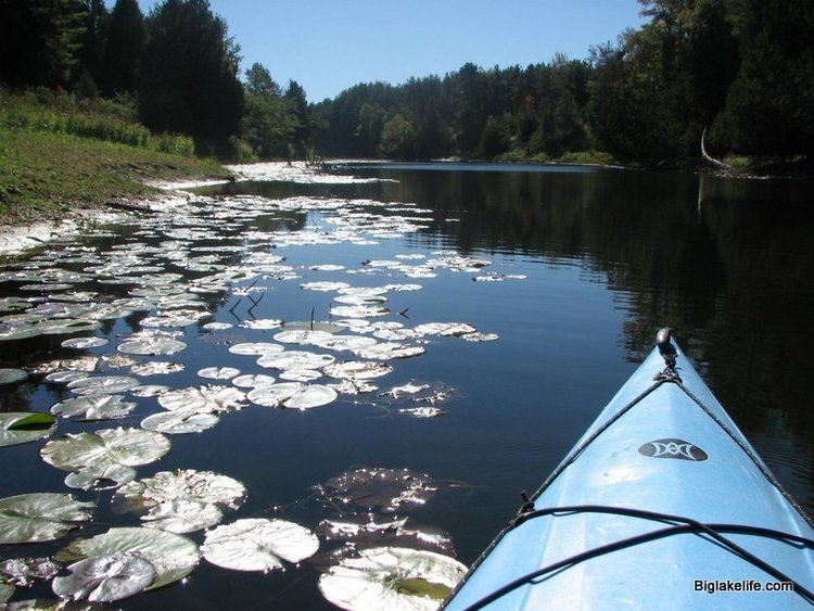
The Sauble River is a river in Bruce County and Grey County in southwestern Ontario, Canada that flows from its headwaters in the township of Chatsworth to Lake Huron at the community of Sauble Beach.
Contents
EtymologyEdit
The river was originally called Rivière aux Saubles, or "sandy river", by the French. It was named the River aux Saubles in 1759 and became the Sauble River in 1859.
CourseEdit
The Sauble River begins at an unnamed pond in the township of Chatsworth in Grey County, between the communities of Desboro to the north and Mooresburg to the south. It heads north then west, takes in the left tributary Grimston Creek and right tributary Keady Creek, passes along the border to the municipality of Arran–Elderslie in Bruce County near the community of Grimston, before entering that municipality and reaching the community of Tara, where it takes in the left tributary Tara Creek. The river continues north, takes in the left tributary Arkwright Creek, passes through the community of Allenford, and reaches the municipality of South Bruce Peninsula. It then heads northeast, takes in the right tributary Park Head Creek, and turns west west of the community of Hepworth. The river takes in the right tributaries Spring Creek and Rankin River, passes over the Sauble Falls, and reaches Lake Huron at Sauble Beach.
Natural historyEdit
Sauble Falls Provincial Park is located at the eponymous waterfalls.
The river hosts fish species such as brown trout, chinook salmon, coho salmon, largemouth bass, northern pike, panfish, rainbow trout and walleye. The south (upper) Sauble River drainage basin has fair (15 to 20%) forest cover and poor (12.5 to 25%) riparian zone forest cover, fair water quality and good benthic species; the north (lower) drainage basin has excellent (greater than 35%) forest cover and fair (25% to 50%) riparian zone forest cover, excellent water chemistry and good benthic species.