
Time zone EST (UTC-5) Area code(s) 519 and 226 Area 460.1 km² Local time Wednesday 6:07 PM | Postal Code N0G Elevation 254 m Population 6,810 (2011) Province Ontario | |
 | ||
Website www.arran-elderslie.com Weather -3°C, Wind N at 14 km/h, 86% Humidity | ||
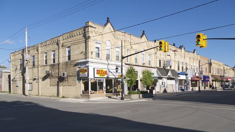
The Municipality of Arran–Elderslie is a township in Bruce County in Western Ontario, Canada. The township is located at the headwaters of the Sauble River, and the Saugeen River forms the northwestern boundary.
Contents
Map of Arran-Elderslie, ON, Canada
Communities
The township comprises the communities of Allenford, Arkwright, Arranvale, Burgoyne, Chesley, Dobbinton, Dreamland, Dunblane, Ellengowan, Elsinore, Gillies Hill, Invermay, Kelly's Corners, Lockerby, Mount Hope, Paisley, Salem, Salisbury, Tara, Vesta and Williscroft.
Demographics
Population trend:
References
Arran–Elderslie Wikipedia(Text) CC BY-SA