Country United States Time zone Mountain (MST) (UTC-7) Local time Wednesday 4:23 PM | Elevation 3,537 ft (1,078 m) Area code(s) 520 | |
 | ||
Weather 24°C, Wind SW at 29 km/h, 20% Humidity | ||
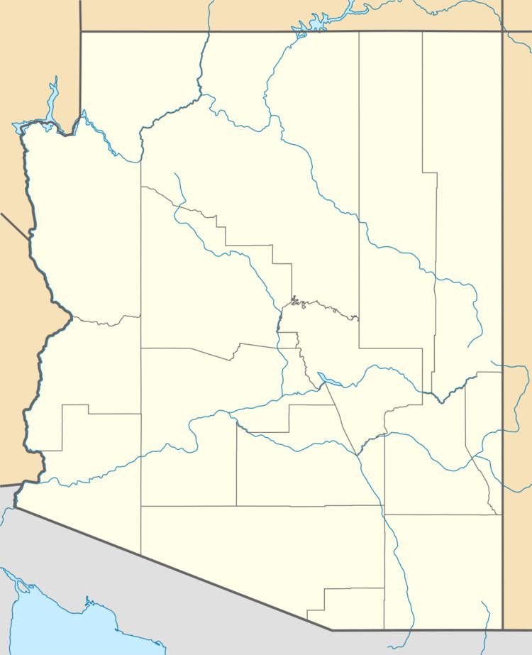
Sasabe (O'odham: Ṣaṣawk) is a small populated place in the Altar Valley of southern Pima County, Arizona, United States, near the international border with Mexico. It hosts a little-used United States–Mexico border crossing. On average, 165 cars, trucks, or pedestrians per day passed through the Sasabe Port of Entry in 2011. Sasabe, Arizona is much smaller than its sister community, El Sásabe, Sonora, which is known for its burnt-adobe brickyards. Sasabe has the ZIP Code of 85633; in 2010, the population of the 85633 ZCTA was 54.
Contents
Map of Sasabe, AZ 85633, USA
History
A post office called Sasabe has been in operation since 1905. Sasabe is a name derived from a Native American language (Tohono O'odham, formerly Papago) meaning "head valley".
Sasabe is best known for its historic Rancho de la Osa guest ranch, formerly the headquarters of a three million acre (12,000 km²) Spanish land grant. Some ranch buildings reportedly date to the late 17th century. The guest ranch opened in 1921. Guests have included Presidents Franklin Roosevelt and Lyndon Johnson.
Geography
Much of the area north and east of Sasabe is within the Buenos Aires National Wildlife Refuge. In 2006, 3,500 acres (14 km2) of the refuge that border Mexico east of Sasabe were closed to public entry due to problems with smugglers and unauthorized border crossings.
