
Elevation 4,280 m | ||
 | ||
Similar Ak‑Baital Pass, Taldyk Pass, Trans‑Alay Range, Bulunkul, Lenin Peak | ||
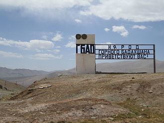
Kyzylart Pass is a mountain pass and border crossing in the Trans-Alay Range on the border of Tajikistan and Kyrgyzstan. The highest point is 4,280 m (14,042 ft). Throughout the area, the land is typically rugged and dry. It is crossed by the Pamir Highway which leads south from Sary-Tash in the Alay Valley up onto the Pamir plateau toward Karakol Lake and Murghab, Tajikistan. In the late nineteenth century the Russians used to explore and eventually occupy the Pamir plateau.
Map of Kyzyl-Art Pass, Kyrgyzstan
References
Kyzylart Pass Wikipedia(Text) CC BY-SA