Serves Band E Sardeh Dam 02/20 6,902 2,104 Gravel Code SBF | Elevation AMSL 6,971 ft / 2,125 m 6,902 2,104 Elevation 2,125 m | |
 | ||
Location Sardeh Band, Ghazni, Afghanistan | ||
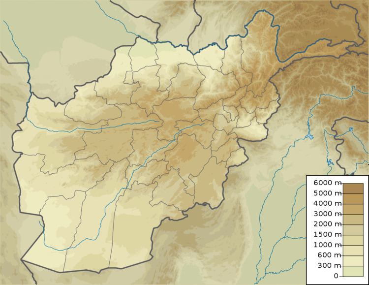
Sardeh Band Airport (IATA: SBF, ICAO: OADS), also known as Band E Sardeh Dam Airport, is an airport located near the village of Sardeh Band and about 1 kilometre (1 mi) north of the Russian-built dam called Band E Sardeh Dam (built in 1967). The airfield lies in a valley 2 miles (3 km) northwest of lake Mota Khan and 18 miles (29 km) southeast of Ghazni, a city in Ghazni Province in Afghanistan.
Contents
Though the airstrip is still evident against the surrounding desert, it has not been maintained since Russian military Forces withdrew from Afghanistan and there are no structures to support it. During the U.S. invasion of Afghanistan, the airstrip was used in a limited capacity by U.S. Special Operations Forces.
Facilities
The airport resides at an elevation of 6,971 feet (2,125 m) above mean sea level. It has one runway designated 02/20 with a gravel surface measuring 6,902 by 190 feet (2,104 m × 58 m).
Incidents
On 12 June 2002 a Lockheed MC-130H Hercules was participating in a night exfiltration mission to remove U.S. Army Special Forces troops from the area when it tried to take off from the airstrip. The plane impacted the ground and crashed in a barren area, 2.5 nautical miles (4.6 km) from the airstrip.
