
Postal code 9311 | Time zone BST (UTC+6) Area 756.6 km² | |
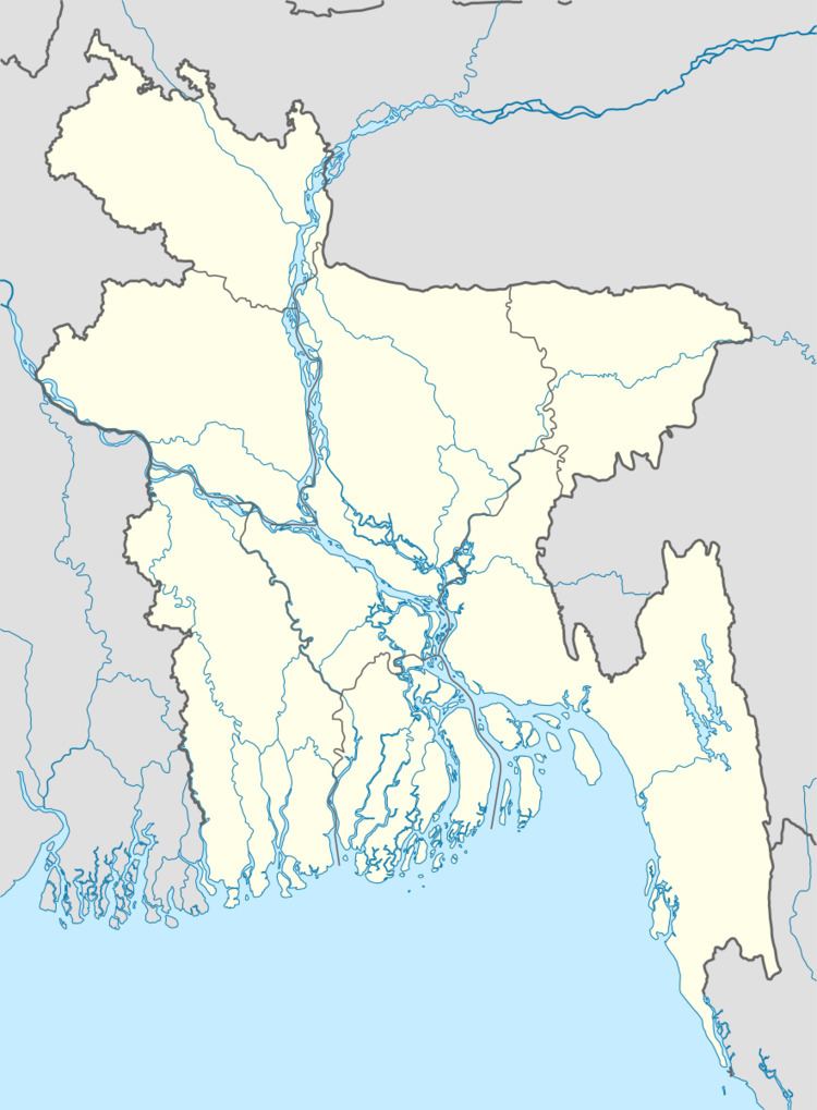 | ||
Website Official Map of Sarankhola | ||
Sarankhola (Bengali: শরণখোলা) is an Upazila of Bagerhat District in the Division of Khulna, Bangladesh.
Contents
Map of Sarankhola Upazila, Bangladesh
Geography
Sarankhola is located at 22.2917°N 89.7917°E / 22.2917; 89.7917 . It has 19588 households and total area 756.61 km².
Demographics
As of the 1991 Bangladesh census, Sarankhola has a population of 107856. Males constitute 51.28% of the population, and females 48.72%. This Upazila's eighteen up population is 52157. Sarankhola has an average literacy rate of 41.8% (7+ years), and the national average of 32.4% literate.
Administration
Sarankhola has 4 Unions/Wards, 11 Mauzas/Mahallas, and 44 villages.
References
Sarankhola Upazila Wikipedia(Text) CC BY-SA