
Length 150 km | ||
 | ||
Main source Mantiqueira Mountains1,950 m (6,400 ft) River mouth Sapucaí800 m (2,600 ft) | ||
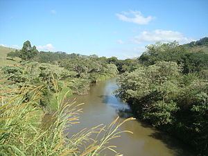
The Sapucaí-Mirim River is a river that flows through the Brazilian states of São Paulo and Minas Gerais. Its source lies within the Mantiqueira Mountains and it discharges into the Sapucaí River.
Contents
Map of Rio Sapuca%C3%AD-mirim, Brazil
Course
The headwaters of the river are protected by the 39,800 hectares (98,000 acres) Sapucaí Mirim Environmental Protection Area, created in 1998. The 180,373 hectares (445,710 acres) Fernão Dias Environmental Protection Area, created in 1997, also protects some of the headwaters. In the state of São Paulo, the river passes by the municipalities of Santo Antônio do Pinhal and São Bento do Sapucaí. In the state of Minas Gerais, it passes by the municipalities of Sapucaí-Mirim, Gonçalves, Paraisópolis, Conceição dos Ouros, Cachoeira de Minas and Pouso Alegre.
Tributaries
Its main tributaries are the Capivari River, Itaim River, Mandu River and the Ribeirão dos Ouros.