
Time zone BRT-1 (UTC-4) Area 12,366 km² Number of airports 1 | Microregion Alto Solimões Postal code 69680-xxx Local time Wednesday 2:58 AM | |
 | ||
Weather 24°C, Wind N at 3 km/h, 96% Humidity | ||
Pescaria no porto de santo ant nio do i am 2016
Santo Antônio do Içá is a community and a municipality in the state of Amazonas near the Columbian border in Brazil. The population is 23,688 (2015 est.) in an area of 12,307 km². The municipality was created in 1955 out of São Paulo de Olivença. The city is served by Ipiranga Airport.
Contents
- Pescaria no porto de santo ant nio do i am 2016
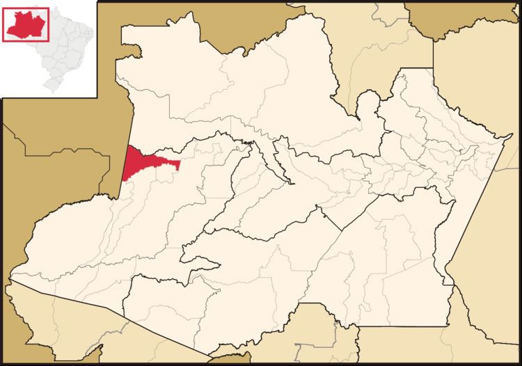
- Map of Santo AntC3B4nio do IC3A7C3A1 State of Amazonas Brazil
- References
Map of Santo Ant%C3%B4nio do I%C3%A7%C3%A1 - State of Amazonas, Brazil
The municipality contains the 15,000 hectares (37,000 acres) Javari-Buriti Area of Relevant Ecological Interest, created in 1985. It contains parts of the Jutaí-Solimões Ecological Station.
References
Santo Antônio do Içá Wikipedia(Text) CC BY-SA