
Time zone BRT-2 (UTC-5) Local time Tuesday 3:23 AM Postal code 69600-xxx | Microregion Alto Solimões Area 19,659 km² Number of airports 1 | |
 | ||
Weather 24°C, Wind S at 3 km/h, 98% Humidity | ||
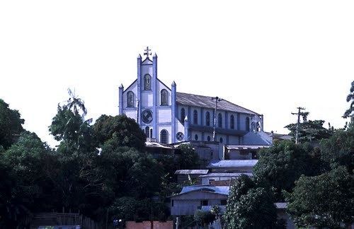
São Paulo de Olivença is a community and a municipality near the western edge of the state of Amazonas near the tri-country border area in Brazil. The population is 36,536 (2015 est.) in an area of 19,746 km². The city is served by Senadora Eunice Michiles Airport. This city, along with other surrounding cities, is known for their sand export for the making of cement.
Contents
Map of S%C3%A3o Paulo de Oliven%C3%A7a - State of Amazonas, Brazil
History
It was founded in 1689 as a mission by Spanish Jesuit Samuel Fritz. The municipality of Santo Antônio do Içá, located to the north, was separated from this municipality in 1955. In 2010, the city suffered from a severe landslide, causing road damage. No one was injured or killed, but many homes were lost in the Amazon River.
References
São Paulo de Olivença Wikipedia(Text) CC BY-SA