
District Thiruvallur Elevation 76 m | Time zone IST (UTC+5:30) Population 700 (2001) | |
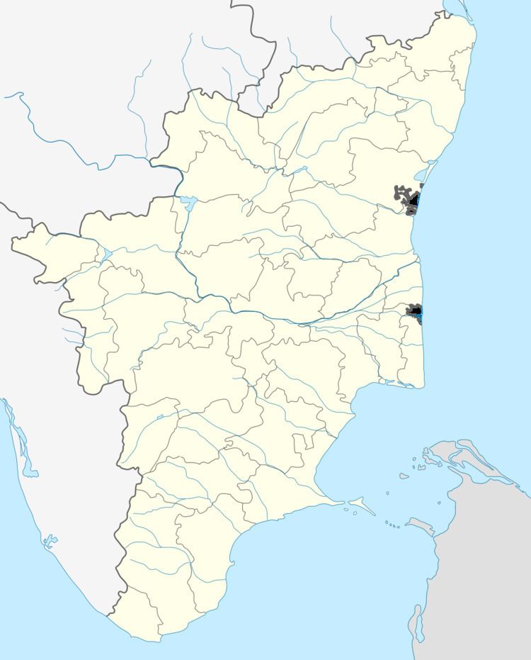 | ||
Santhanagopalaurma is a Village in Tiruttani of Thiruvallur district in the Indian state of Tamil Nadu.
Contents
- Map of Santhanagopalapuram Tamil Nadu 631212
- Legends of Santhanagopalapuram
- Geography
- Demographics
- References
Map of Santhanagopalapuram, Tamil Nadu 631212
Santhanagopalapuram is a small village in Tiruttani Taluk, Tiruvallur District, Tamil Nadu, India. PIN 631 201. It is 10 Kilometers North East of Tiruttani and 2 kilometers from Andhra Pradhesh Border. Total Population is more than 1035 people.
The nearby temple shrine are at
- Tiruvallur Sri Viswaroopa Panchamukha Anjaneya Swami Ashram , near Tiruthani
- Tirupathi
- Matthur
- Thiruvaalangadu
- Thirupachur
- Kanchipuram
Legends of Santhanagopalapuram
Articulture is main commercial crop in this village. 70% of people have their own small Jasmine farms and do the agriculture. There are other crops in this village - Peanuts (Groundnut), Paddy, Vegetables, Sunflower and sugarcane. It has a small Elementary school with less than 20 children and 3 teachers(2015). Children get very little education from this school. The reason behind is the poverty. Each and every child should wake up by 5 a.m. and go to jasmine farm to pluck the jasmine flowers. By 9 a.m. children should be ready for school. So they don't have enough time to read and being tired of working in the early morning. This tends them to be tired for the day in the school and they are unable concentrate in their class at the school.
The Village has 3 temples (Krishna Temple is the bigger one) and one Water Tank. Apart from flowers, their main cultivation includes Paddy and Sugarcanes. There is one High school at Poonimangadu, 2 miles away from this village. It is somewhat bigger than this village.most of the people are migrated to town and city to continue their higher studies
Geography
Santhanagopalapuram is located at 13.240196°N 79.589510°E / 13.240196; 79.589510. It has an average elevation of 76 metres (249 feet).
Demographics
As of 2001 India census, Santhanagopalapuram had a population of 1035. Males constitute 51% of the population and females 49%. Santhanagopalapuram has an average literacy rate of 55%, less than the national average of 59.5%: male literacy is 60%, and female literacy is 45%.