
Parishes 1 Area 95.36 km² Local time Sunday 9:57 PM | Region Ribatejo Intermunic. comm. Lezíria do Tejo Population 7,702 (2011) | |
 | ||
Weather 12°C, Wind W at 6 km/h, 87% Humidity Points of interest Tagus, Casa dos Patudos‑ Museu de, Casa Agrícola Paciência | ||
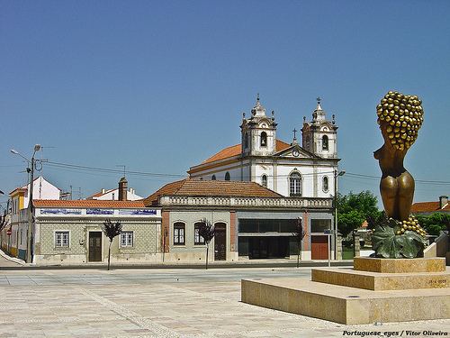
Alpiarça ([ɐɫpiˈaɾsɐ]) is a municipality in Santarém District in Portugal. The population in 2011 was 7,702, in an area of 95.36 km².
Contents
- Map of AlpiarC3A7a Portugal
- Physical geography
- Human geography
- International relations
- Architecture
- Religious
- References
Map of Alpiar%C3%A7a, Portugal
The present Mayor is Mario Fernando Pereira and the President of the Municipal Assembly is Mario Santiago. The municipal holiday is April 2.
Physical geography
Alpiarça is situated on a plateau in the landscape of the Vale do Tejo-Lezíria. The main town of Alpiarça is located at approximately 20–25 metres (66–82 ft) above the Tagus Valley, some 3 kilometres (1.9 mi) from the left bank. The morphology of the terrain is marked by plain profile, sparsely covered by vegetation, and intensely proportioned by its proximity to Tagus, alternating with pasturelands.
Human geography
The municipality of Alpiarça includes only one civil parish, and is limited in the northeast and east by the municipality of Chamusca, southeast and southwest by the municipality of Almeirim and northwest by the municipality of Santarém.
International relations
Alpiarça municipality is twinned with: