
State Pará HDI (2000) 0.690 – medium Elevation 160 m Local time Wednesday 1:27 AM | Region Norte Postal code (CEP) 68560 Area 11,591 km² Population 55,033 (2009) Number of airports 1 | |
 | ||
Santana do araguaia inicio do v deo no bairro rodovi rio
Santana do Araguaia is the southernmost city in the Brazilian state of Pará. The city lies near the Araguaia River, which marks the border with the state of Tocantins. The town was established on December 20, 1961 by then-governor of Pará, Aurélio do Carmo, after being split off from the municipality of Conceição do Araguaia.
Contents
- Santana do araguaia inicio do v deo no bairro rodovi rio
- Map of Santana do Araguaia State of ParC3A1 Brazil
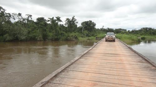
- Santana do araguaia 2011
- References
Map of Santana do Araguaia - State of Par%C3%A1, Brazil
The city is served by Santana do Araguaia Airport.
Santana do araguaia 2011
References
Santana do Araguaia Wikipedia(Text) CC BY-SA