
Elevation 409 m (1,342 ft) | Time zone BRT/BRST (UTC-3/-2) | |
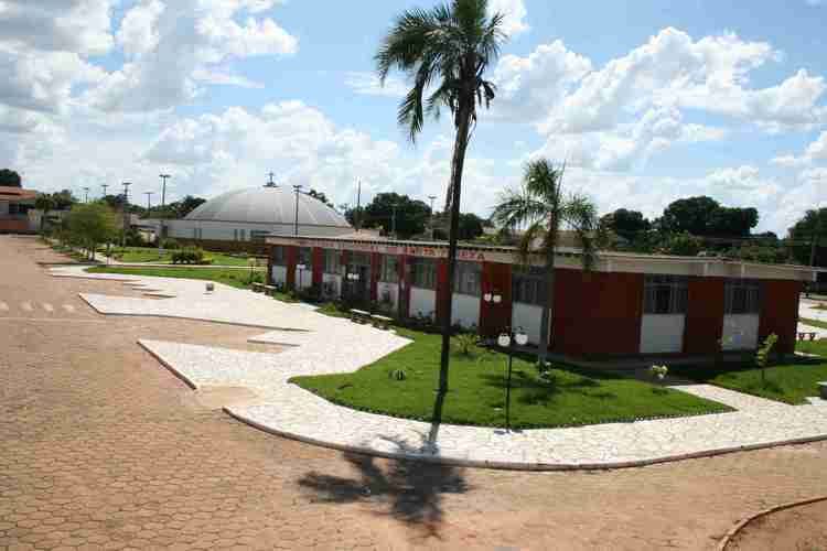 | ||
Santa Tereza de Goias is a municipality in north Goiás state, Brazil. Santa Tereza de Goiás is often spelled "Santa Teresa de Goiás".
Contents
- Map of Santa Tereza de GoiC3A1s State of GoiC3A1s Brazil
- Location
- Political and Demographic Information
- Economic Information
- Quality of Life
- References
Map of Santa Tereza de Goi%C3%A1s - State of Goi%C3%A1s, Brazil
Location
Santa Tereza is located in the extreme north of the state 35 km. south of Porangatu. It is on the important BR-153 highway. Highway connections starting in Goiânia are made by GO-080 / Nerópolis / São Francisco de Goiás / BR-153 / Jaraguá / GO-080 / Goianésia / Barro Alto / GO-342 / BR-080 / BR-153 / Uruaçu / Campinorte.
Santa Tereza de Goiás is surrounded by the following municipalities:
Political and Demographic Information
The mayor was Paulo Vieira da Costa (January 2005) and there were 9 members on the city council. The number of eligible voters was 3,238 (December/2007). The population density was 5,22 inhab/km² (2007). The urban population was 3,475 and the rural population was 670 (2007).
Economic Information
The economy is based on subsistence agriculture, cattle raising, services, public administration, and small transformation industries.
Quality of Life
In 2006 there were 6 schools and 1 hospital with 17 beds. The adult literacy rate was 84.7% (2000) (national average was 86.4%) and the infant mortality rate was 31.85 (2000) (national average was 33.
All data are from IBGE
Municipal Human Development Index: 0.729 (2000)
Seplan Economic Development Index
Seplan Social Development Index