
Country Guatemala Municipality Santa María Cahabón Climate Af Area 900 km² Local time Tuesday 8:17 PM | Time zone GMT -6 Elevation 250 m Population 31,425 (2005) | |
 | ||
Weather 22°C, Wind SE at 3 km/h, 82% Humidity | ||
Cahabón is a municipality in the Guatemalan department of Alta Verapaz. It is situated at 250m above sea level. It contains 31,425 people. It covers a terrain of 900km2. The annual festival is September 1-September 8.
Contents
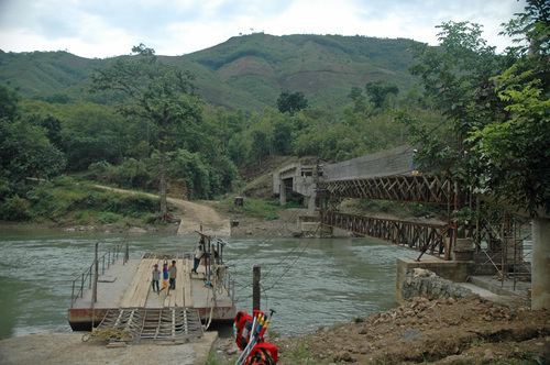
Map of Cahabon, Guatemala
Franja Transversal del Norte
The Northern Transversal Strip was officially created during the government of General Carlos Arana Osorio in 1970, by Legislative Decree 60-70, for agricultural development. The decree literally said: "It is of public interest and national emergency, the establishment of Agrarian Development Zones in the area included within the municipalities: San Ana Huista, San Antonio Huista, Nentón, Jacaltenango, San Mateo Ixtatán, and Santa Cruz Barillas in Huehuetenango; Chajul and San Miguel Uspantán in Quiché; Cobán, Chisec, San Pedro Carchá, Lanquín, Senahú, Cahabón and Chahal, in Alta Verapaz and the entire department of Izabal."
Climate
Cahabón has a tropical climate (Köppen: Af).