
Country Guatemala Climate Cwb | ||
 | ||
Nentón is a municipality in the Guatemalan department of Huehuetenango. Its territory extends 762.85 km2 and has 9,113 inhabitants. It became a municipality on December 5, 1876 and was formally known as San Benito Nentón. The population here speaks Spanish and Chuj.
Contents
- Map of NentC3B3n Guatemala
- Administrative division
- Archeological sites
- Franja Transversal del Norte
- Climate
- References
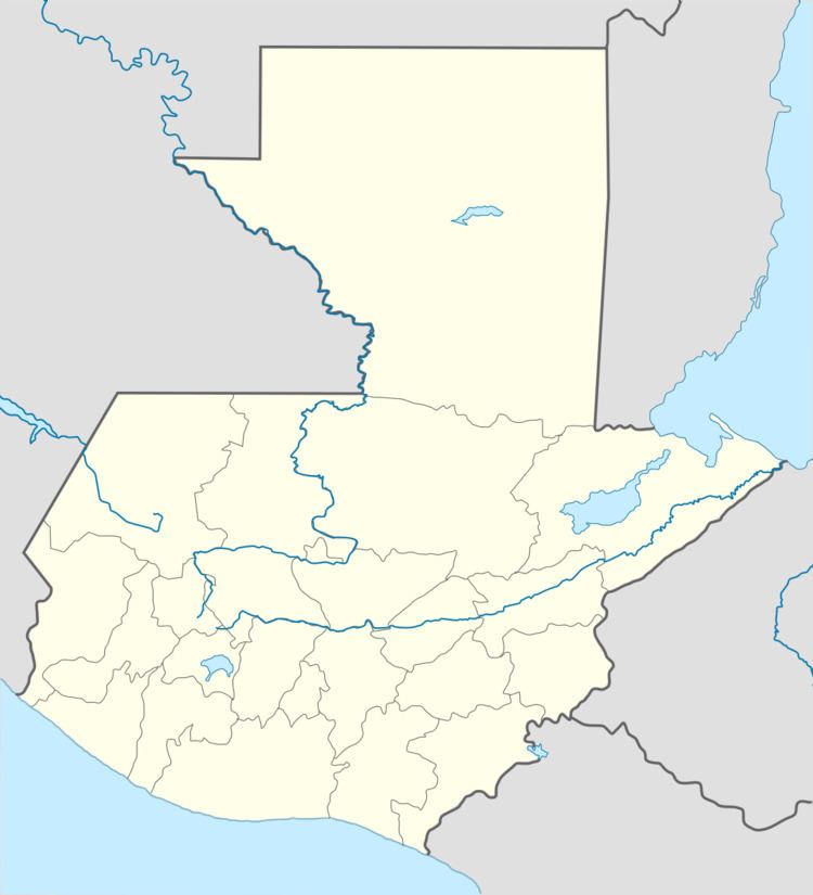
Map of Nent%C3%B3n, Guatemala
The Nentón town fair is from January 12 to the 15th in honor of Santo Cristo de Esquipulas.
Administrative division
The municipality has 13 middle size settlements (Spanish: aldeas) and 24 small size settlements (Spanish: caseríos):
Archeological sites
Nentón's territory includes the following sites:
Franja Transversal del Norte
The Northern Transversal Strip was officially created during the government of General Carlos Arana Osorio in 1970, by Legislative Decree 60-70, for agricultural development. The decree literally said: "It is of public interest and national emergency, the establishment of Agrarian Development Zones in the area included within the municipalities: San Ana Huista, San Antonio Huista, Nentón, Jacaltenango, San Mateo Ixtatán, and Santa Cruz Barillas in Huehuetenango; Chajul and San Miguel Uspantán in Quiché; Cobán, Chisec, San Pedro Carchá, Lanquín, Senahú, Cahabón and Chahal, in Alta Verapaz and the entire department of Izabal."
Climate
Nentón has a subtropical highland climate (Köppen: Cwb).