
Elevation 1,650 m Local time Tuesday 8:16 PM | Population 8,597 (2005) | |
 | ||
Weather 21°C, Wind N at 23 km/h, 23% Humidity | ||
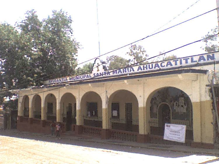
Santa Maria Ahuacatitlán is a village in the municipality of Cuernavaca, in the state of Morelos, Mexico. Ahuacatitlán means "place among aguacates" (avocados).
Contents
Map of Santa Mar%C3%ADa Ahuacatitl%C3%A1n, 62100 Cuernavaca, Morelos, Mexico
Location
Santa Maria Ahuacatitlán is located north of the city of Cuernavaca in Morelos. It borders Huitzilac and villages such as San Pedro Huertas to the north. On its eastern borders are the towns of Chamilpa and Ocotepec. In the south is Buena Vista and to the east Colonia del Bosque.
From Mexico City, the village can be reached by the Federal Mexico - Cuernavaca highway.
History
According to records of the city of Cuernavaca, Santa Maria Ahuacatitlan was formed when a portion of inhabitants of Cuernavaca fled the main city upon the approach of Hernán Cortés.
References
Santa María Ahuacatitlán Wikipedia(Text) CC BY-SA