
Country United States FIPS code 36-07839 Elevation 417 m Local time Thursday 11:53 AM | State New York Time zone Eastern (EST) (UTC-5) GNIS feature ID 0978748 Population 577 (2010) | |
 | ||
Weather -11°C, Wind W at 29 km/h, 73% Humidity Area 107 km² (106.9 km² Land / 18 ha Water) | ||
Brandon is a town in Franklin County, New York, United States. It is centrally located in the county, southwest of Malone. The town population was 577 at the 2010 census. It was named after Brandon, Vermont, by early settlers.
Contents
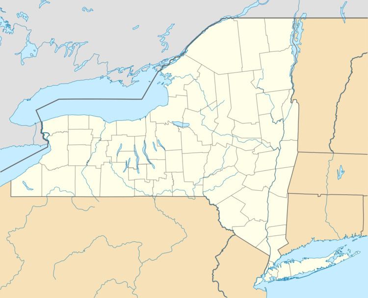
- Map of Brandon NY 12966 USA
- History
- Geography
- Demographics
- Communities and locations in Brandon
- References
Map of Brandon, NY 12966, USA
History
The town was settled by pioneers from Vermont. The town of Brandon was organized in 1828 from the town of Bangor. Subsequently, the town lost much of its area in the formation of the towns of Harrietstown and Santa Clara.
Geography
According to the United States Census Bureau, Brandon has a total area of 41.32 square miles (107.02 km2), of which 41.26 square miles (106.85 km2) is land and 0.066 square miles (0.17 km2), or 0.16%, is water.
The south town line borders the Adirondack Park.
Demographics
As of the census of 2000, there were 542 people, 195 households, and 150 families residing in the town. The population density was 13.1 people per square mile (5.1/km²). There were 309 housing units at an average density of 7.5 per square mile (2.9/km²). The racial makeup of the town was 95.94% White, 0.18% African American, 1.66% Native American, 0.55% Asian, 0.74% from other races, and 0.92% from two or more races. Hispanic or Latino of any race were 1.48% of the population.
There were 195 households out of which 39.5% had children under the age of 18 living with them, 60.0% were married couples living together, 6.7% had a female householder with no husband present, and 22.6% were non-families. 15.9% of all households were made up of individuals and 4.1% had someone living alone who was 65 years of age or older. The average household size was 2.74 and the average family size was 2.99.
In the town, the population was spread out with 28.4% under the age of 18, 5.9% from 18 to 24, 33.8% from 25 to 44, 22.1% from 45 to 64, and 9.8% who were 65 years of age or older. The median age was 36 years. For every 100 females there were 107.7 males. For every 100 females age 18 and over, there were 106.4 males.
The median income for a household in the town was $28,500, and the median income for a family was $27,361. Males had a median income of $30,809 versus $21,053 for females. The per capita income for the town was $13,663. About 16.4% of families and 22.7% of the population were below the poverty line, including 25.4% of those under age 18 and 20.4% of those age 65 or over.