
Area 243 km² | ||
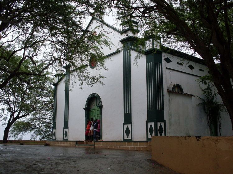 | ||
Santa Catarina is a concelho (municipality) of Cape Verde. It is situated in the western part of the island of Santiago. Its seat is the town Assomada. Its population was 44,388 at the 2013 census.
Contents
- Map of Santa Catarina Cape Verde
- Subdivisions
- Geography
- History
- Presidents
- Persons
- Festivities
- International relations
- References
Map of Santa Catarina, Cape Verde
The president is of the Movement for Democracy (MpD) party who was elected in 2008.
Subdivisions
The municipality consists of one freguesia (civil parish), Santa Catarina. The freguesia is subdivided into the following settlements, Its population data was as of 2010:
Geography
Santa Catarina are dominated by plateaus and agricultural land are common in these areas, mountains dominate the remainder of the municipality. It includes most of Serra da Malagueta and its ranges, the western portion of Pico da Antónia ranges and southwest is Baía do Inferno surrounded by tall cliffs. It has the island's westernmost point.
History
In the early 19th century, it covered the southwestern and the northern portions of the island.
In 1833, colonial governor Manuel António Martins tried to move the seat of Santa Catarina from Ribeira Grande in the south to nearby Picos. Ribeira Grande would later become part of the municipality of Praia and would remain until 2005 when its own municipality would be created.
Santa Rita Vieira relates to different places which acted as the municipal (county) seat including Ribeira da Barca in 1845, Casa Grande south of Assomada near Picos between 1845 and between 1851 and 1857, Flamengos near Saltos de Cima between 1846 and 1849, Achada Falcão (in Cabeça Carreira) in 1859 and Mangue in Tarrafal in 1869.
By the end of the 19th century, the Municipality of Santa Catarina occupied the northern half of the island, while the southern half was the Municipality of Praia.
On May 4, 1912, the seat of the municipality moved from Tarrafal to Assomada and became the municipality of Santa Catarina by the colonial governor Joaquim Pedro Vieira Júdice Biker The northern portion split and became its own municipality of Tarrafal. In 1917, two northern parishes of the municipality were split off to become the Municipality of Tarrafal. In February 2005, a southern parish of the Municipality was split off to become the Municipality of São Salvador do Mundo.
A series of demonstrations and rebellions took place in the colonial years, the latter being the struggle for Cape Verdean independence took place in Assomada, one was in 1822, then the Fonteana Revolt in 1835, the Ribeirão Manuel Rebellion in 1910, a petition in 1946, demonstrations over the elevation of the Minister of the Overseas in August 1962 and the student's battle in Spring 1970.
Cape Verde's third dam would be built on October 30, 2013, its name is the Saquinho Dam (Barragem de Saquinho) and is located in the west of the municipality northwest of Assomada.
Presidents
Persons
Festivities
The municipality's main festivity is the festival of Saint Catherine which takes place on November 24.
International relations
Santa Catarina is twinned with: