
Local time Wednesday 3:25 PM | ||
 | ||
Weather 26°C, Wind NE at 29 km/h, 60% Humidity Civil parish Santa Catarina, Cape Verde | ||
Ribeira da Barca is a village in the municipality of Santa Catarina. Its 2010 population was 2,317 making it the second most populated in the municipality and the ninth most populated places on the island. Situated in the western part of the island of Santiago, Cape Verde. It is situated on the west coast, 11 km northwest of Assomada. It is connected with the road connecting at Achada Lem with the Assomada-Tarrafal Route and passing north of the Saquinho Reservoir.
Contents
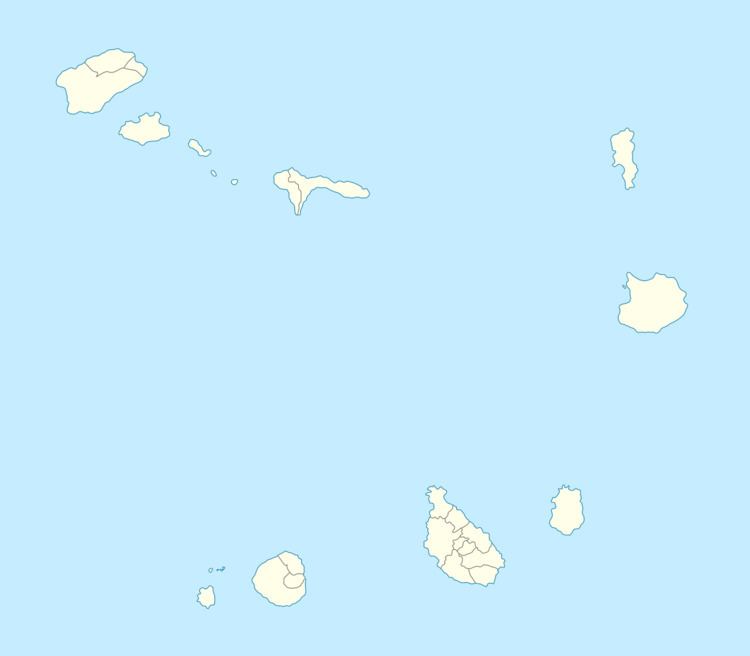
Map of Ribeira da Barca, Cape Verde
It was acted as a municipal seat of Santa Catarina in 1845.
Ribeira da Barca was affected by the famine in 1947, many people left to São Tome and Príncipe, at the time another Portuguese colony and outside the then Empire including Dakar, Senegal and parts of western Europe.
The agricultural sector, especially fishing and the cultivation of sugar canes, is predominant. Tourism is of increasing importance.