
Country India District Pali PIN 306022 Population 981 (2011) Area code 02934 | State Rajasthan Founded by Thakur Bhopat Singh Telephone code 02934 Local time Wednesday 1:03 AM | |
 | ||
Weather 27°C, Wind E at 2 km/h, 32% Humidity | ||
Sansari (सांसरी) is a village located on Phulad–Desuri road.
Contents
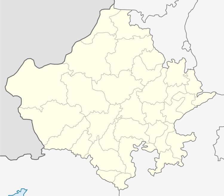
Map of Sansari, Rajasthan 306022
It is panchayat headquarters for 4 villages (Ashapura a.k.a. Akar, Guda Gopinath, Guda Durjan and Sansari). Sansari is located around 65 km from the district headquarters Pali, and 27 km from Tehsil headquarters in Desuri.
It is the last village in Desuri Tehsil, after which Marwar Junction Tehsil starts. Currently MNREGA office has been opened in Sansari, for the villages in Sansari Panchayat.
History and Surroundings
Sansari was a Thikana of Solanki Rajputs who are offshoot of family of Roopnagar (Mewar). It was founded by Thakur Bhopat Singh in 1607 AD. The village is located in foothills of Aravali range in Godwar region and its rulers used to pay tributes to Rulers of Udaipur, before Godwar was taken over by Rulers of Jodhpur. The annual rekh (tax) submitted was Rs. 800.
Demographics
As per census of India 2011, total population is 981 ( Males - 468, Females - 513) and total households of 201.