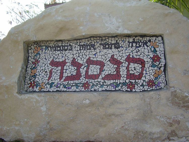
Founded 1997 | Affiliation Amana Population (2015) 334 Local time Tuesday 9:31 PM | |
 | ||
Weather 12°C, Wind NE at 8 km/h, 78% Humidity | ||
Sansana (Hebrew: סַנְסַנָּה, lit. Palm tree) is a religious communal settlement in the southern Judaean Mountains of the West Bank. Located to the south-west of Hebron and just over the Green Line, it falls under the jurisdiction of Har Hevron Regional Council. In 2015 it had a population of 334.
Contents
Map of Sansana, Israel
The international community considers Israeli settlements in the West Bank illegal under international law, but the Israeli government disputes this.
History
The settlement was established in 1997 as a Nahal settlement, the first kvutza arrived on 21 April 1999, and it was civilianised by members of the Or Movement in 2000. Its name is taken from the name of a Biblical village nearby (Joshua 15:31) and from Song of Songs 7:9;
I said: 'I will climb up into the palm-tree, I will take hold of the branches thereof; and let thy breasts be as clusters of the vine, and the smell of thy countenance like apples;
