
Vehicle registration SD Area 15 km² Local time Tuesday 7:33 PM Area code 07762 | Time zone CET (UTC+1) Elevation 455 m Population 1,144 (1 Apr 2009) Postal code 4762 | |
 | ||
Website www.oberoesterreich.at/st.willibald Weather 11°C, Wind W at 5 km/h, 75% Humidity | ||
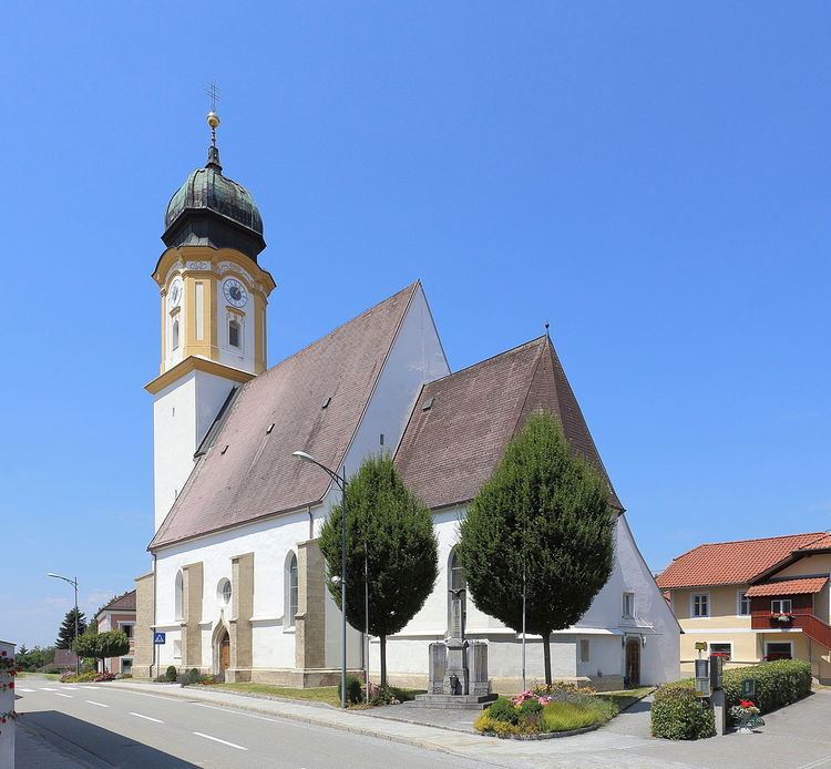
Sankt Willibald, officially St. Willibald, is a municipality in the district of Schärding in the Austrian state of Upper Austria.
Contents
Map of 4762 Sankt Willibald, Austria
Geography
Sankt Willibald lies in the Innviertel. About 28 percent of the municipality is forest, and 63 percent is farmland.
References
Sankt Willibald Wikipedia(Text) CC BY-SA