
Country Austria District Braunau am Inn Vehicle registration BR Area 5 km² Local time Tuesday 7:32 PM Area code 07723 | State Upper Austria Time zone CET (UTC+1) Elevation 411 m Population 399 (1 Apr 2009) Postal code 5273 | |
 | ||
Website www.st-veit-innkreis.at Weather 11°C, Wind SW at 3 km/h, 72% Humidity | ||
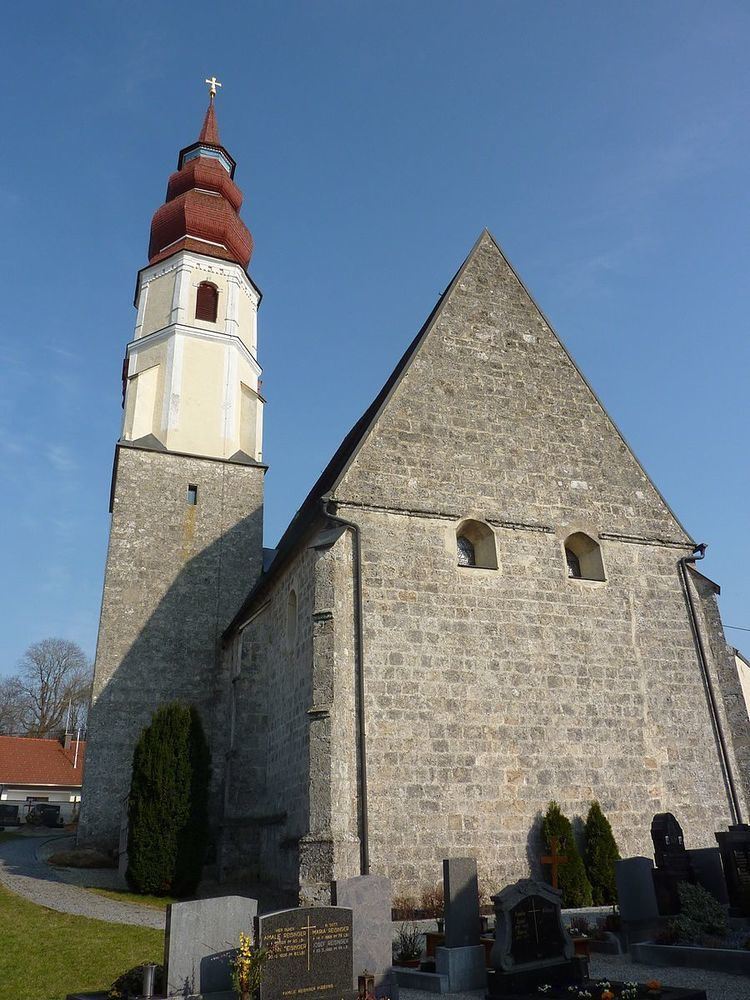
St. Veit im Innkreis, also Sankt Veit im Innkreis is a municipality in the district of Braunau am Inn in the Austrian state of Upper Austria.
Contents
Map of 5273 Sankt Veit im Innkreis, Austria
Geography
Sankt Veit lies in the Innviertel. About 9 percent of the municipality is forest and 85 farmland.
References
Sankt Veit im Innkreis Wikipedia(Text) CC BY-SA