
Vehicle registration SD Elevation 599 m Population 1,634 (1 Apr 2009) Postal code 4725 | Time zone CET (UTC+1) Website www.st-aegidi.at Area 29 km² Local time Tuesday 7:01 PM Area code 07717 | |
 | ||
Weather 11°C, Wind W at 3 km/h, 73% Humidity | ||
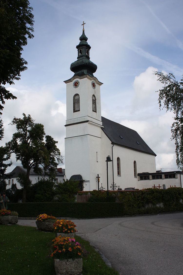
Sankt Aegidi is a municipality in the district of Schärding in the Austrian state of Upper Austria.
Contents
Map of 4725 Sankt Aegidi, Austria
Geography
Sankt Aegidi lies on the easter edge of the Sau forest. It is only about 1 km from the Danube, as the crow flies. About 37 percent of the municipality is forest, and 58 percent is farmland.
References
Sankt Aegidi Wikipedia(Text) CC BY-SA