
Lok Sabha constituency Howrah Elevation 2 m Local time Tuesday 11:29 PM | Time zone IST (UTC+5:30) Vidhan Sabha constituency Sankrail Population 29,114 (2011) | |
 | ||
Weather 23°C, Wind SE at 5 km/h, 80% Humidity | ||
Howrah purulia superfast furiously skipping sankrail
Sankrail is a census town in Sankrail CD Block in Sadar subdivision of Howrah district in the Indian state of West Bengal.
Contents
- Howrah purulia superfast furiously skipping sankrail
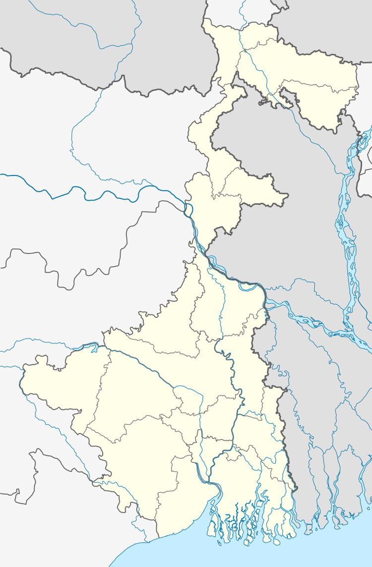
- Map of Sankrail Howrah West Bengal
- Geography
- Demographics
- Transport
- References
Map of Sankrail, Howrah, West Bengal
Geography
Sankrail is located at 22.57°N 88.24°E / 22.57; 88.24. It has an average elevation of 2 metres (6 feet).
Demographics
As per 2011 Census of India Sankrail had a total population of 29,114 of which 14,919 (51%) were males and 14,195 (49%) were females. Population below 6 years was 3,328. The total number of literates in Sankrail was 21,192 (82.18% of the population over 6 years).
Sankrail was part of Kolkata Urban Agglomeration in 2011 census.
As of 2001 India census, Sankrail had a population of 25,590. Males constitute 54% of the population and females 46%. Sankrail has an average literacy rate of 64%, higher than the national average of 59.5%: male literacy is 69%, and female literacy is 59%. In Sankrail, 12% of the population is under 6 years of age..