PIN 591313 Elevation 638 m Local time Tuesday 11:19 PM | Time zone IST (UTC+5:30) Vehicle registration KA-23 Population 34,637 (2011) ISO 3166 code ISO 3166-2:IN | |
 | ||
Weather 26°C, Wind W at 10 km/h, 36% Humidity Neighborhoods Ganganagar, Shankar Nagar, Bhim Nagar | ||
Sankeshwar (Kannada ಸಂಕೇಶ್ವರ) is a town located in Hukkeri taluka, Belagavi district, in Karnataka. It is located on AH47 (Previously National Highway 4). It is 50 km north of Belgaum. It is located on the bank of the Hiranyakeshi river.
Contents
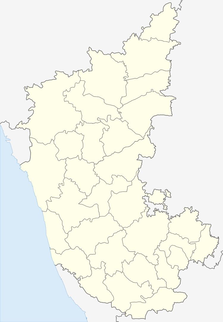
Map of Sankeshwar, Karnataka
Geography
Sankeshwar is located at 16.27°N 74.48°E / 16.27; 74.48. It has an average elevation of 638 metres (2093 feet).
Demographics
As of 2011 India census, Sankeshwar had a population of 34,445. Males constitute 51% of the population and females 49%. Sankeshwar has an average literacy rate of 67%, higher than the national average of 59.5%: male literacy is 75%, and female literacy is 59%. 13% of the population is under 6 years of age. Kannada is the major language spoken here.
Places to visit
Hospitals
Neel Ganga children Hospital
Sankeshwar children hospital
Sankeshwar mission hospital
Vivekanand multi specialty hospital
Strain hospital
Isaac eye foundation
Murgude eye hospital
Maldar Hospital
Gurudat clinic
Kore Hospital
Mulla clinic
Rukmini children hospital
