
Country State | Language spoken District | |
 | ||
Map of Sangameshwar
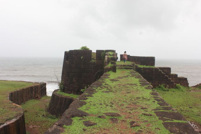
Sangameshwar Taluka is a taluka in Ratnagiri subdivision of Ratnagiri district in the Indian state of Maharashtra. The headquarters for the taluka is the town of Devrukh. In Sangameshwar the two rivers Sonavi and Shastri flow together. The meaning of Sangama in Marathi (and most Indian languages) is confluence, and so the name "Sangameshwar". It is historically important as the place where Sambhajiraje, son of Chhatrapati Shivaji (Shivaji Raje) was captured by Mughal Emperor Aurangzeb. Chhatrapati Sambhaji was tortured and executed in Tulapur.
Contents
- Map of Sangameshwar
- Exclusive coverage of 43 trucks on train at beautiful shastri bridge sangameshwar konkan railway
- Geography
- Transportation
- Attractions
- References
Exclusive coverage of 43 trucks on train at beautiful shastri bridge sangameshwar konkan railway
Geography
The city lies on the join of two banks of the River Shastri and River Sonavi. To the east of the city lie the Western Ghats and to the west lies Ganapatipule. The region has a tropical climate. The 'rainy season' — the monsoon lasts normally from June till October. The dome of main temple is constructed of single piece of stone; lately extended for entrance.
Transportation
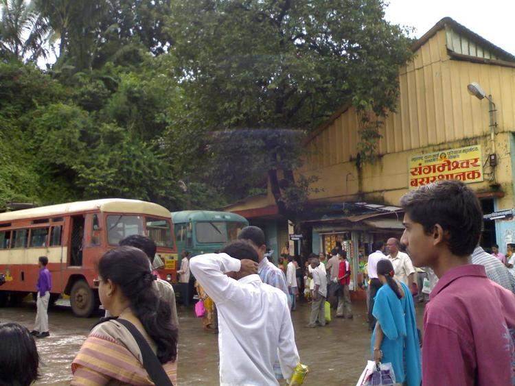
The nearest bus stand is Sangameshwar S.T. Stand (M.S.R.T.C.) nearly 4 km from Sangameshwar Railway Station. The Sangameshwar railway station is located on National Highway 17 (Mumbai - Goa Highway). The nearest main bus depot is Devrukh of (M.S.R.T.C.) nearly 13 km from Sangameshwar S.T. Stand from where you can reach to Sakharapa and then kolhapur also from Devrukh you can reach to Ratnagiri and Lanja city.