
Region ARMM Municipality Bongao | Population 17,212 (2010) | |
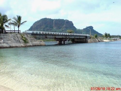 | ||
Sanga-Sanga is an island in the southwestern Philippines, part of the Sulu Archipelago between the Sulu Sea and Celebes Sea. It is sandwiched between Tawitawi Island to the east and Bangao Island to the south.
Contents
Map of Sanga-sanga Island, Bongao, Philippines
The island is subdivided into 11 barangays (Karungdong, Lakit-Lakit, Lato-Lato, Luuk Pandan, Malassa, Mandulan, Pagasinan, Pakias, Paniongan, Sanga-Sanga, and Tubig Basag), all belonging to the municipality of Bongao in the province of Tawi-Tawi.
History
During World War II the island was a major stopover for the Japanese Navy. It was liberated by American forces on 2 April 1945, and used by American and Australian forces.
Transportation
Sanga-Sanga Airport, the main airport serving Tawi-Tawi province, is located on the island.
References
Sanga-Sanga Wikipedia(Text) CC BY-SA