
Area 762.4 km² | Time zone BST (UTC+6) Population 472,179 (2009) | |
 | ||
Website Official Map of Sandwip | ||
Beautiful sandwip documentary trailer akj
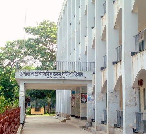
Sandwip (Bengali: সন্দ্বীপ) is an Upazila of Chittagong District in the Division of Chittagong, Bangladesh. It encompasses the islands of Sandwip which is 3/4 and Urirchar 1/4 of the upazila.
Contents
- Beautiful sandwip documentary trailer akj
- Map of Sandwip Upazila Bangladesh
- Geography
- Demographics
- Administration
- References
Map of Sandwip Upazila, Bangladesh
Geography
Sandwip is located at 22.4833°N 91.4417°E / 22.4833; 91.4417. It has a total area of 762.42 km².
Demographics
According to the 1991 Bangladesh census, Sandwip had a population of 272,179. Males constituted 49.68% of the population, and females 50.32%. The population aged 18 or over was 122,499. Sandwip had an average literacy rate of 35% (7+ years), against the national average of 32.4%.
Administration
Sandwip has 18 Unions/Wards, 62 Mauzas/Mahallas, and 34 villages, and 45, 389 households.
References
Sandwip Upazila Wikipedia(Text) CC BY-SA