
Country United States Time zone CST (UTC-6) Area 94.22 km² Local time Tuesday 3:22 AM | Established November 4, 1884 Elevation 109 m Population 816 (2010) | |
 | ||
ZIP codes 62907, 62940, 62942, 62966 Weather 12°C, Wind N at 14 km/h, 85% Humidity | ||
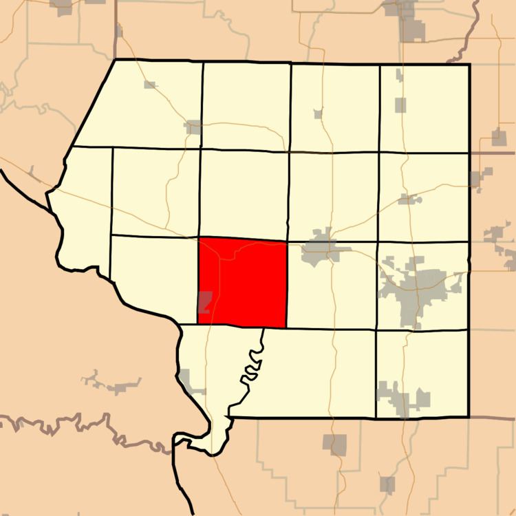
Sand Ridge Township is one of sixteen townships in Jackson County, Illinois, USA. As of the 2010 census, its population was 816 and it contained 354 housing units.
Contents
- Map of Sand Ridge Township IL USA
- Geography
- Cities towns villages
- Unincorporated towns
- Adjacent townships
- Cemeteries
- Major highways
- Landmarks
- School districts
- Political districts
- References
Map of Sand Ridge Township, IL, USA
Geography
According to the 2010 census, the township has a total area of 36.38 square miles (94.2 km2), of which 35.45 square miles (91.8 km2) (or 97.44%) is land and 0.93 square miles (2.4 km2) (or 2.56%) is water.
Cities, towns, villages
Unincorporated towns
(This list is based on USGS data and may include former settlements.)
Adjacent townships
Cemeteries
The township contains Creath Morris Cemetery.
I believe that the location of the Creath Morris Cemetery is just above the old Grimsby Illinois Elementary School. As a child I lived on the lane that is now called Sarensen. We used to play over on that hill above the school. I don't believe any of the markers are still there because the weather has badly eroded the steep slope. Melissa Janean [Reames] Holt
Major highways
Landmarks
Kincaid Spillway