
Country United States Time zone CST (UTC-6) Area 136.6 km² Local time Thursday 12:44 PM | Established November 4, 1884 Elevation 154 m Population 802 (2010) | |
 | ||
ZIP codes 62901, 62905, 62958, 62966, 62975 Weather 6°C, Wind E at 14 km/h, 86% Humidity Points of interest Pomona Natural Bridge, Pomona Winery, Cedar Lake, Cove Hollow, Hickory Ridge Vineyard | ||
Pomona Township is one of sixteen townships in Jackson County, Illinois, USA. As of the 2010 census, its population was 802 and it contained 372 housing units.
Contents
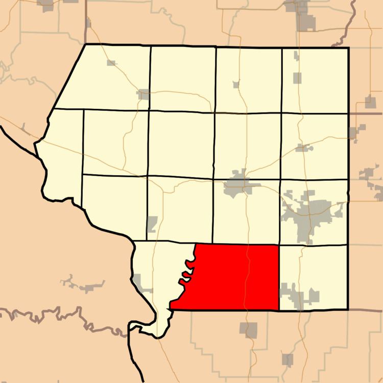
- Map of Pomona Township IL USA
- Geography
- Unincorporated towns
- Extinct towns
- Adjacent townships
- Cemeteries
- School districts
- Political districts
- References
Map of Pomona Township, IL, USA
Geography
According to the 2010 census, the township has a total area of 52.75 square miles (136.6 km2), of which 50.01 square miles (129.5 km2) (or 94.81%) is land and 2.74 square miles (7.1 km2) (or 5.19%) is water.
Unincorporated towns
(This list is based on USGS data and may include former settlements.)
Extinct towns
(These towns are listed as "historical" by the USGS.)
Adjacent townships
Cemeteries
The township contains these five cemeteries: Dutch Ridge, Etherton, Hagler, Mount Pleasant and Stearns.
School districts
Political districts
References
Pomona Township, Jackson County, Illinois Wikipedia(Text) CC BY-SA